Map of Dobbs Ferry, New York
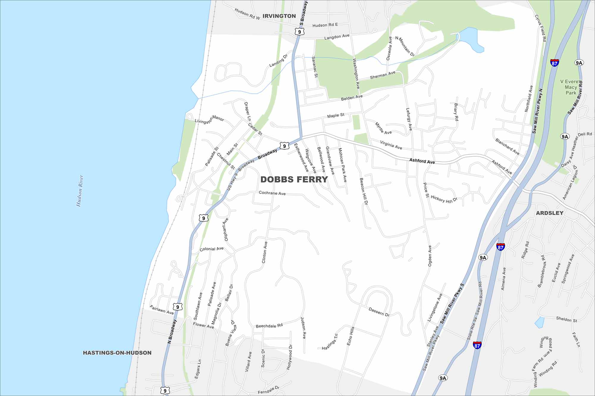
Our map of Dobbs Ferry shows a Hudson River town just north of New York City. Steep terrain leads down to the waterfront, with winding local streets. Its river views set it apart from neighboring villages.
Map Information
On the Map
Interstates/Highways: I-87, US Hwy 9, State Rte 9A Major Roads: Broadway, Ashford Ave, Saw Mill River Pkwy, Main St, Walgrove Ave, Grandview Ave, Mohican Park Ave, Beacon Hill Dr, Ogden Ave, Clinton Ave, Stanley Ave, Livingstone Ave, Ridge Rd, Northfield Ave, Blanchard Ave, American Legion Dr, Cyrus Field Rd, Langdon Ave, Belden Ave, Maple St Major Rivers: Hudson River Parks and Preserves: V Everit Macy Park Nearby Communities: Irvington, Hastings-On-Hudson, ArdsleyNew York State Maps
Find state maps of the Empire State.


City Maps of New York
Here are the city maps that define New York


