Map of Dearborn Heights, Michigan
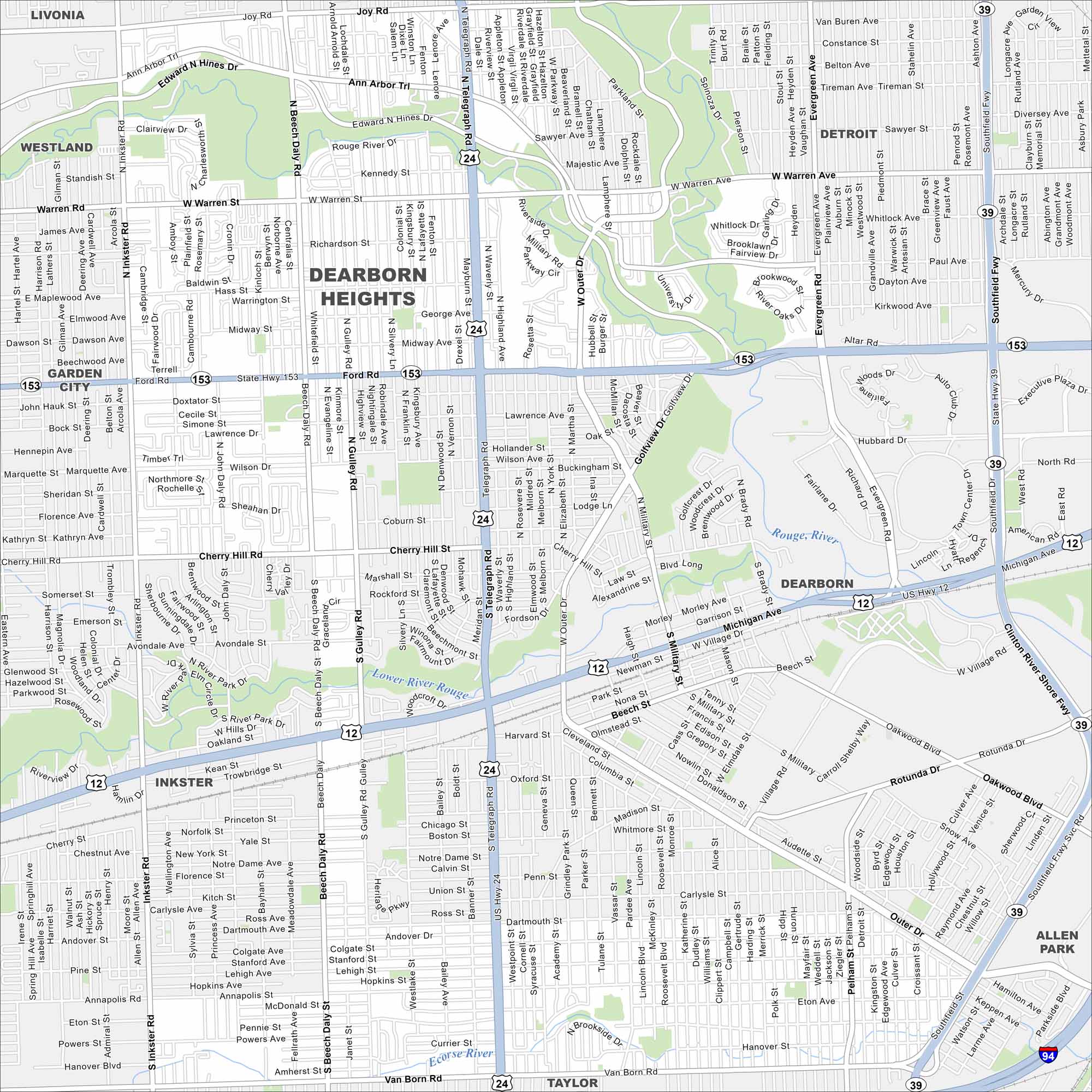
Our Dearborn Heights map shows this community part of the Detroit suburbs. Residential neighborhoods dominate the landscape.
Map Information
On the Map
Interstates/Highways: I-94, US Hwy 12, US Hwy 24, State Rte 39, State Rte 153 Major Roads: Michigan Ave, Telegraph Rd, Ford Rd, Warren Rd, Southfield Fwy, Joy Rd, Cherry Hill Rd, Outer Dr, Ann Arbor Trl, Beech Daly Rd, Inkster Rd, Van Born Rd, Pelham Rd, Gulley Rd, Dartmouth St, Rotunda Dr, Oakwood Blvd, Evergreen Rd, Hubbard Dr, Paul Ave Major Rivers: Rouge River, Lower River Rouge Nearby Communities: Livonia, Westland, Garden City, Inkster, Taylor, Allen Park, Melvindale, Detroit, DearbornMichigan State Maps
Get to know Michigan with our detailed maps


City Maps of Michigan
Check out our maps of Detroit and other cities in Michigan


