Map of Chestnut Ridge, New York
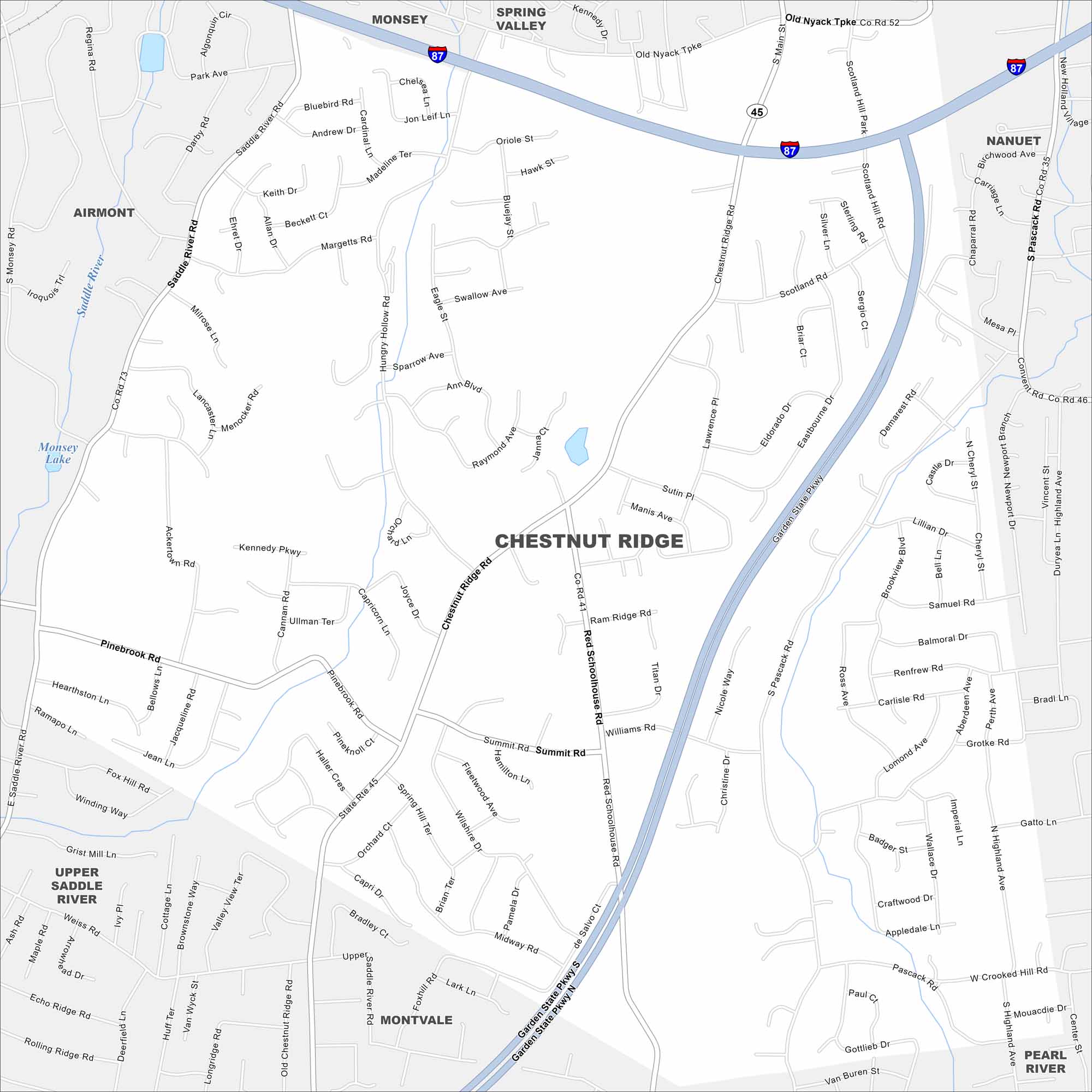
Our map of Chestnut Ridge shows the local roads, highways, and green spaces. In Rockland County, the village sits along the New Jersey border. Wooded hills give the area its name.
Map Information
On the Map
Interstates/Highways: I-87, State Rte 45 Major Roads: Garden State Pkwy, Chestnut Ridge Rd, Red Schoolhouse Rd, Scotland Hill Rd, Saddle River Rd, Pascack Rd, Summit Rd, Hungry Hollow Rd, Pinebrook Rd, Ackertown Rd, Monsey Blvd, Grotke Rd, South Pascack Rd, Grandview Ave, College Rd, Cherry Lane, Viola Rd, Forshay Rd, New Hempstead Rd, Summit Park Rd Nearby Communities: Monsey, Spring Valley, Nanuet, Airmont, Upper Saddle River, Montvale, Pearl RiverNew York State Maps
Find state maps of the Empire State.


City Maps of New York
Here are the city maps that define New York


