Map of Chapel Hill, North Carolina
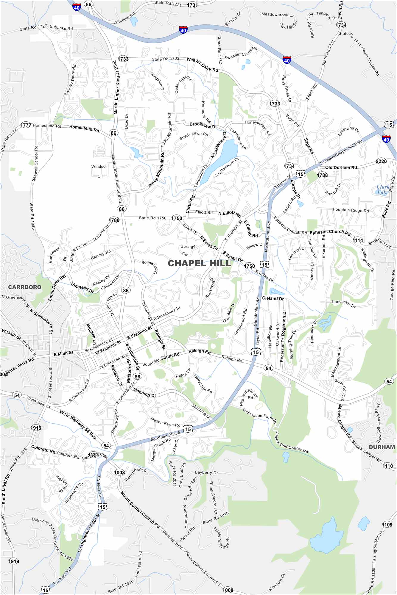
Chapel Hill is a city of wooded neighborhoods and rolling hills. Our map places it at the heart of the Research Triangle. The college town vibe is unmistakable, but it’s balanced with quiet, leafy areas.
Map Information
On the Map
Interstates/Highways: I-40, US Hwy 15, US Hwy 501, State Rte 86, State Rte 54 Major Roads: Franklin St, Martin Luther King Jr Blvd, Estes Dr, Weaver Dairy Rd, Homestead Rd, Raleigh Rd, South Rd, Manning Dr, Fordham Blvd, Mount Carmel Church Rd, Farrington Mill Rd, Ephesus Church Rd, Elliott Rd, Piney Mountain Rd, Lakeshore Dr, Umstead Dr, Rosemary St, Pittsboro St, Cameron Ave, Merritt Mill Rd Lakes and Reservoirs: Clark Lake Nearby Communities: Carrboro, DurhamNorth Carolina State Maps
Get to know the mountains and coastlines of North Carolina.


City Maps of North Carolina
Journey through North Carolina with our city maps


