Map of Carson City, Nevada
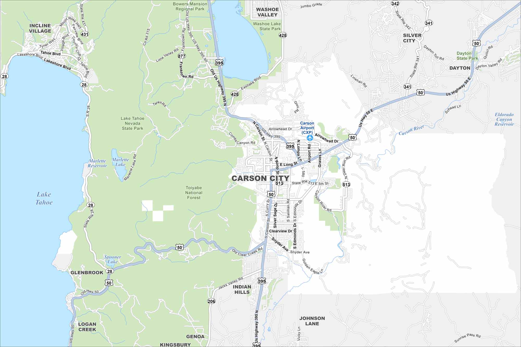
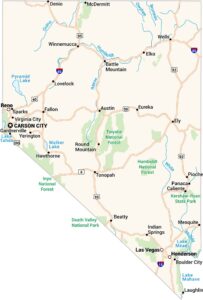
See Carson City on our map, showing the Carson River winding through the area. It’s the capital of Nevada, but still feels smaller compared to Reno or Las Vegas. Lake Tahoe is just a short drive west.
Map Information
On the Map
Interstates/Highways: US Hwy 395, US Hwy 50, US Hwy 395 Alt, State Rte 431, State Rte 28, State Rte 342, State Rte 341 Major Roads: Carson St, Fairview Dr, Roop St, William St, College Pkwy, Arrowhead Dr, Lompa Ln, Airport Rd, Graves Ln, Saliman Rd, Edmonds Dr, Snyder Ave, Clear Creek Rd, Jacks Valley Rd, Eastlake Blvd, Lakeshore Blvd, Tahoe Blvd, Village Blvd, Country Club Dr, Tyner Way Airports: Carson Airport (CXP) Lakes and Reservoirs: Lake Tahoe, Marlette Lake, Marlette Reservoir, Spooner Lake, Washoe Lake Major Rivers: Carson River Parks and Preserves: Toiyabe National Forest, Lake Tahoe Nevada State Park, Washoe Lake State Park, Bowers Mansion Regional Park Nearby Communities: Incline Village, Washoe Valley, Silver City, Dayton, Glenbrook, Logan Creek, Indian Hills, Johnson Lane, Genoa, KingsburyNevada State Maps
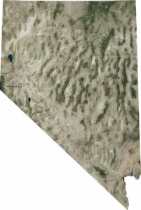
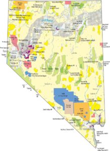
Click on one of our maps of the Silver State.


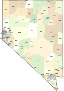
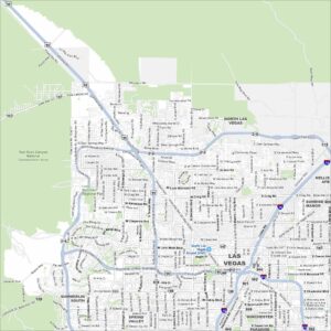
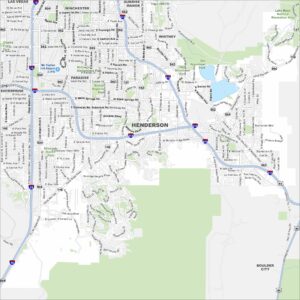
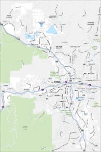
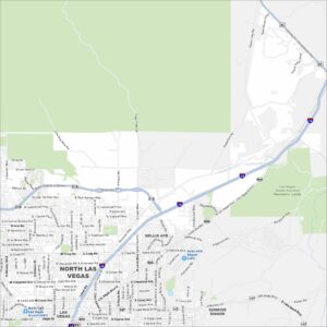
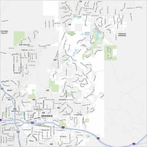
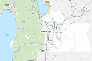
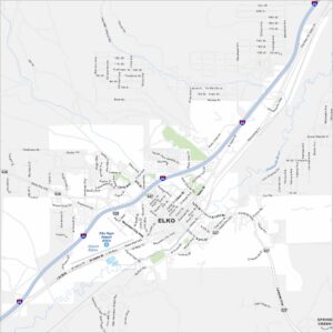
City Maps of Nevada
Explore cities in Nevada from desert to mountains