Map of Boynton Beach, Florida
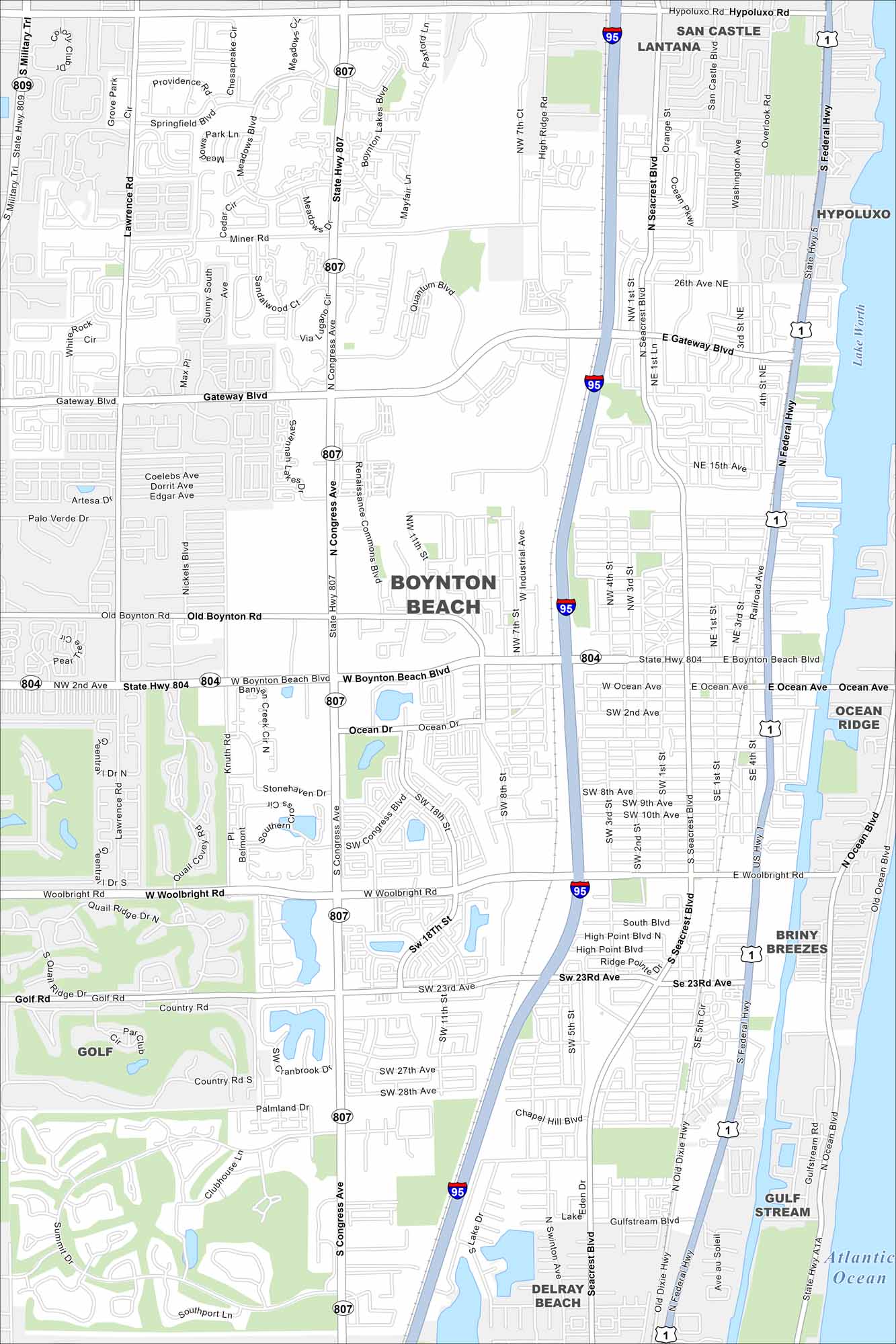
Discover Boynton Beach with our map along Florida’s Atlantic coast. The beaches draw visitors but the inland neighborhoods give it balance. Waterways and parks are main features of much of the city.
Florida State Maps
Discover Florida through our state maps


Map Information
On the Map
Interstates/Highways: I-95, US Hwy 1, State Hwy 804, State Hwy 807, State Hwy 809, State Hwy A1A, Federal Hwy, Dixie Hwy Major Roads: Boynton Beach Blvd, Congress Ave, Military Trl, Lawrence Rd, Gateway Rd, Woolbright Rd, Golf Rd, Old Boynton Rd, Seacrest Blvd, Knuth Rd, High Ridge Rd, Industrial Ave, Quantum Blvd, Renaissance Commons Blvd, Miner Rd, Ocean Ave Lakes and Reservoirs: Atlantic Ocean, Lake Worth Nearby Communities: Lantana, Hypoluxo, Ocean Ridge, Briny Breezes, Gulf Stream, Delray BeachFlorida City Maps
Chart your course through Miami and Florida’s cities


