Map of Billings, Montana
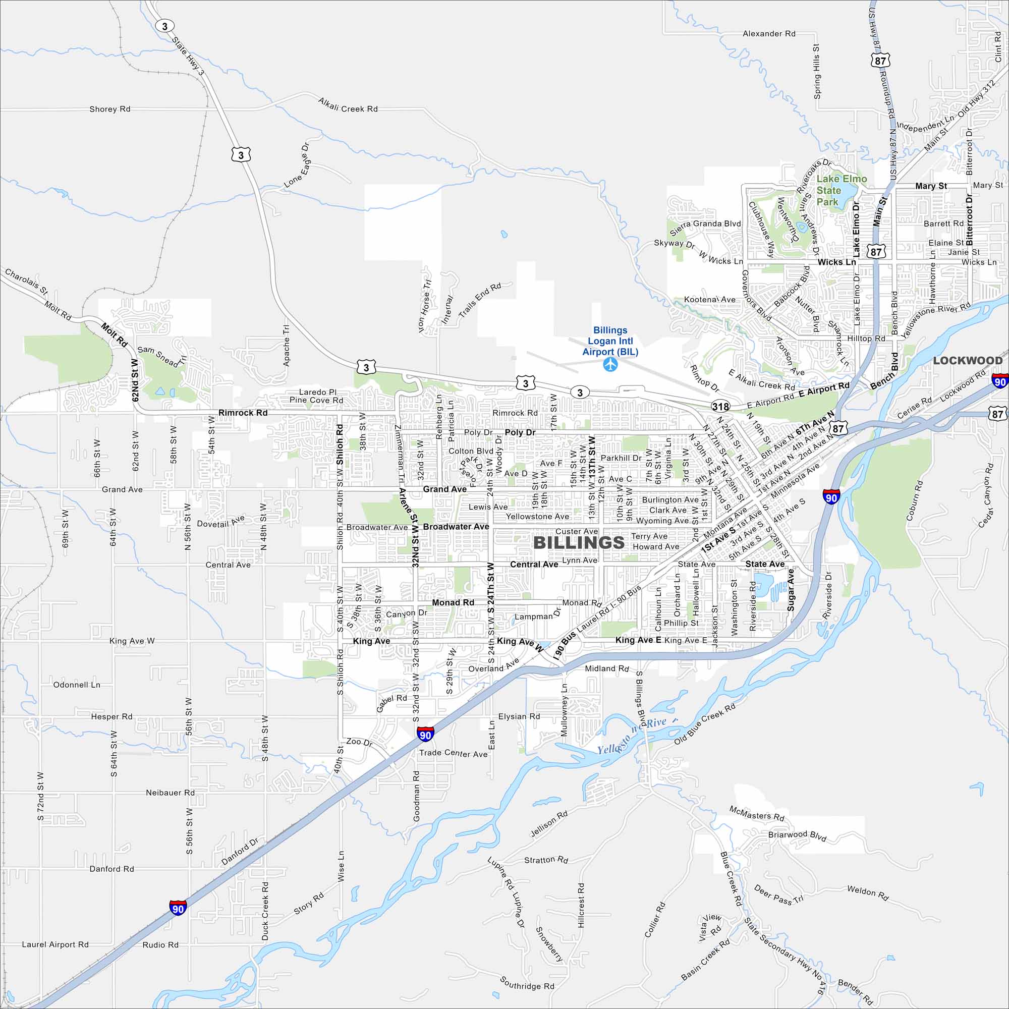
Billings is the largest city in Montana. Our map shows the Yellowstone River in the south. It also has wide roads and nearby bluffs.
Map Information
On the Map
Interstates/Highways: I-90, US Hwy 87, US Hwy 212, State Rte 3 Major Roads: Main St, King Ave, Central Ave, Broadwater Ave, Grand Ave, Rimrock Rd, 24th St, 27th St, 32nd St, Shiloh Rd, Airport Rd, Bench Blvd, Laurel Rd, Molt Rd, Poly Dr, Wicks Ln, Governors Blvd, Hilltop Rd, Blue Creek Rd, Jellison Rd Airports: Billings Logan Intl Airport (BIL) Major Rivers: Yellowstone River Parks and Preserves: Lake Elmo State Park Nearby Communities: LockwoodMontana State Maps
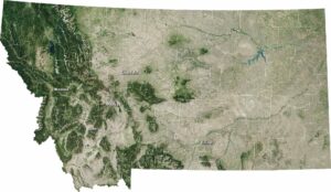
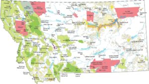
Wander through this wide-open state with our map collection.
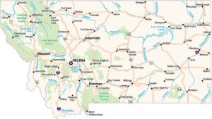


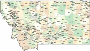
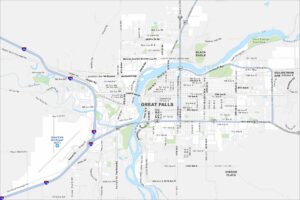
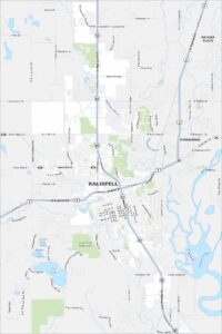
Montana City Maps
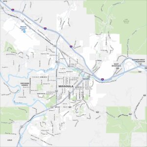
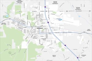
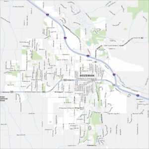
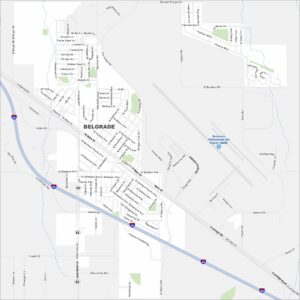
See our map collection of Billings and Montana cities