Map of Belmont, North Carolina
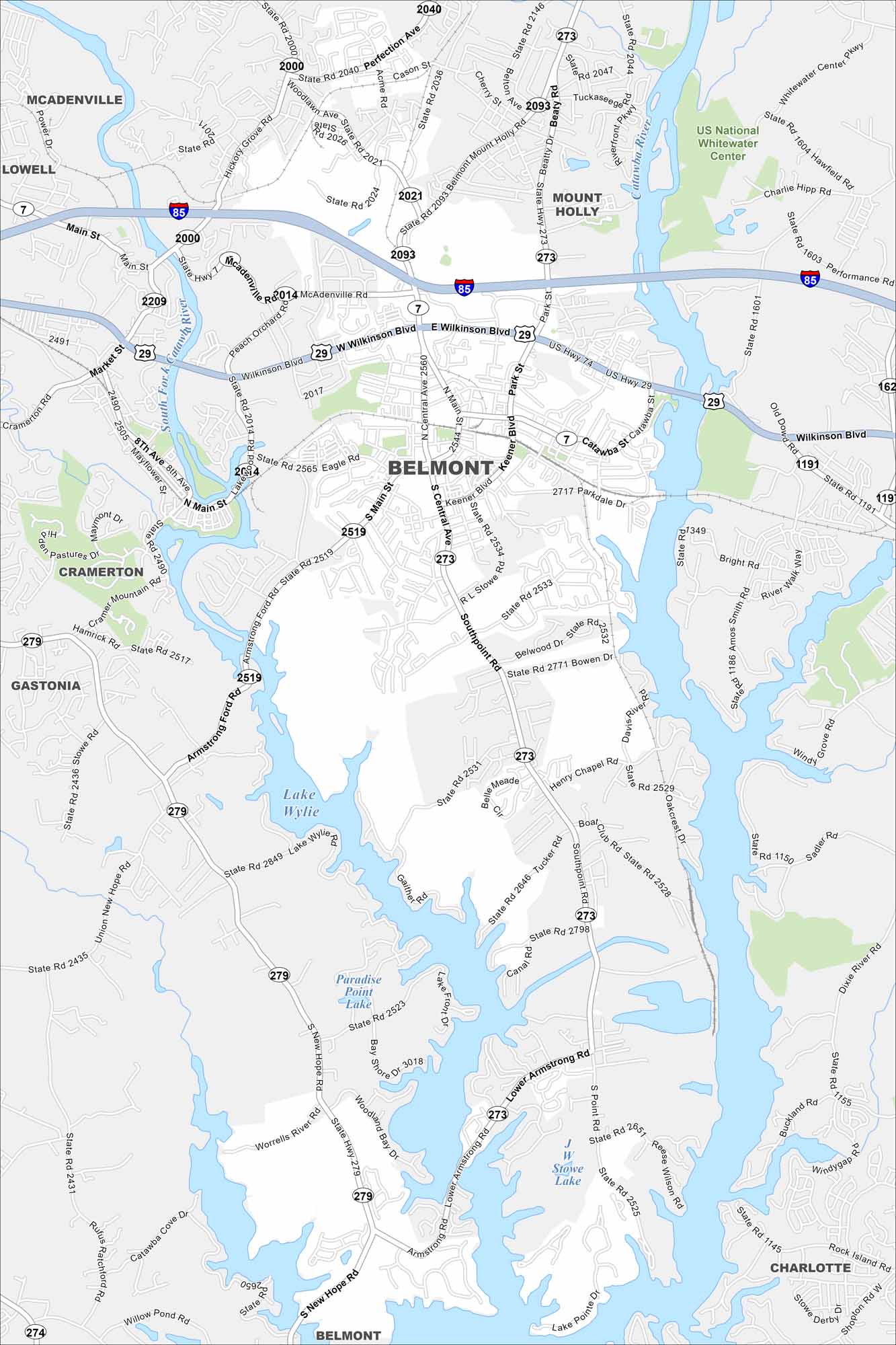
Our map of Belmont shows the Catawba River, local streets, and park areas. The city sits just west of Charlotte. It has a small-town feel but strong ties to the metro region.
Map Information
On the Map
Interstates/Highways: I-85, US Hwy 29, US Hwy 74, State Rte 273, State Rte 279, State Rte 7 Major Roads: Wilkinson Blvd, Main St, Central Ave, Main St, Armstrong Ford Rd, New Hope Rd, South Point Rd, Belmont Mount Holly Rd, Tuckaseegee Rd, Eagle Rd, Park St, Keener Blvd, Catawba St, Parkdale Dr, R L Stowe Rd, Bowen Dr, Henry Chapel Rd, Perfection Ave, Woodlawn Ave, Hickory Grove Rd Lakes and Reservoirs: Lake Wylie, Paradise Point Lake, Stowe Lake Major Rivers: Catawba River, South Fork Catawba River Parks and Preserves: US National Whitewater Center Nearby Communities: Mount Holly, McAdenville, Lowell, Cramerton, Gastonia, CharlotteNorth Carolina State Maps
Get to know the mountains and coastlines of North Carolina.


City Maps of North Carolina
Journey through North Carolina with our city maps


