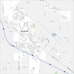
Map of Belgrade, Montana
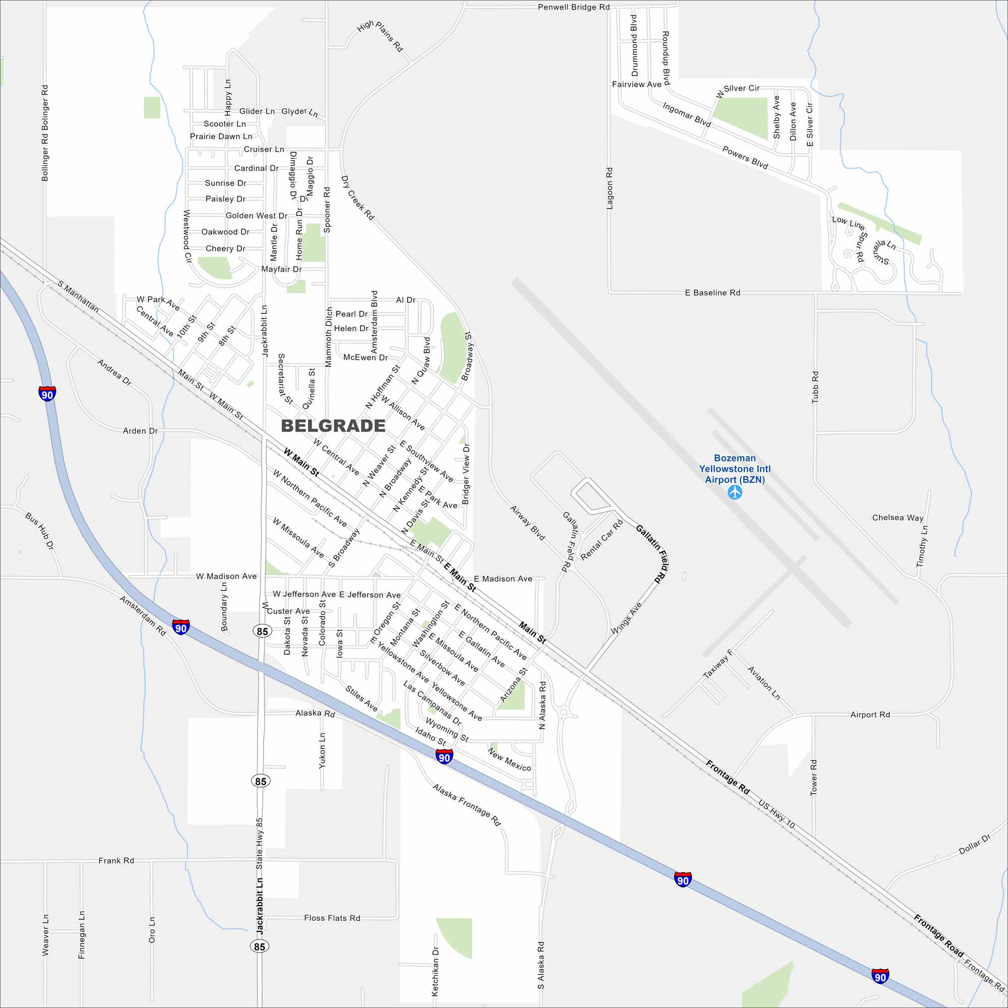
Belgrade is in southwest Montana near Bozeman. Our map highlights its roads, rivers, and parks. It’s part of the Gallatin Valley.
Map Information
On the Map
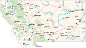
Interstates/Highways: I-90, US Hwy 10, US Hwy 191, State Rte 85 Major Roads: Main St, Jackrabbit Ln, Frontage Rd, Madison Ave, Central Ave, Jefferson Ave, Baseline Rd, Broadway St, Amsterdam Blvd, Penwell Bridge Rd, Alaska Rd, Airport Rd, Cruiser Ln, Cardinal Dr, Spooner Rd, Bolinger Rd, Thorpe Rd, High Plains Rd, Dry Creek Rd, Lagoon Rd Airports: Bozeman Yellowstone Intl Airport (BZN)Montana State Maps
Wander through this wide-open state with our map collection.


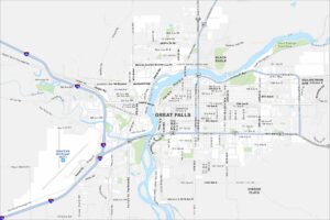
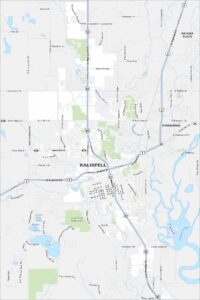
Montana City Maps
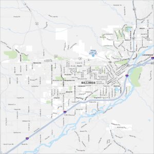
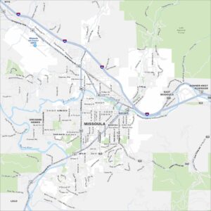
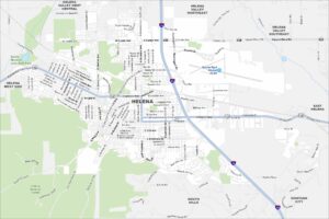
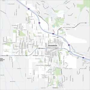
See our map collection of Billings and Montana cities