Map of Beacon, New York
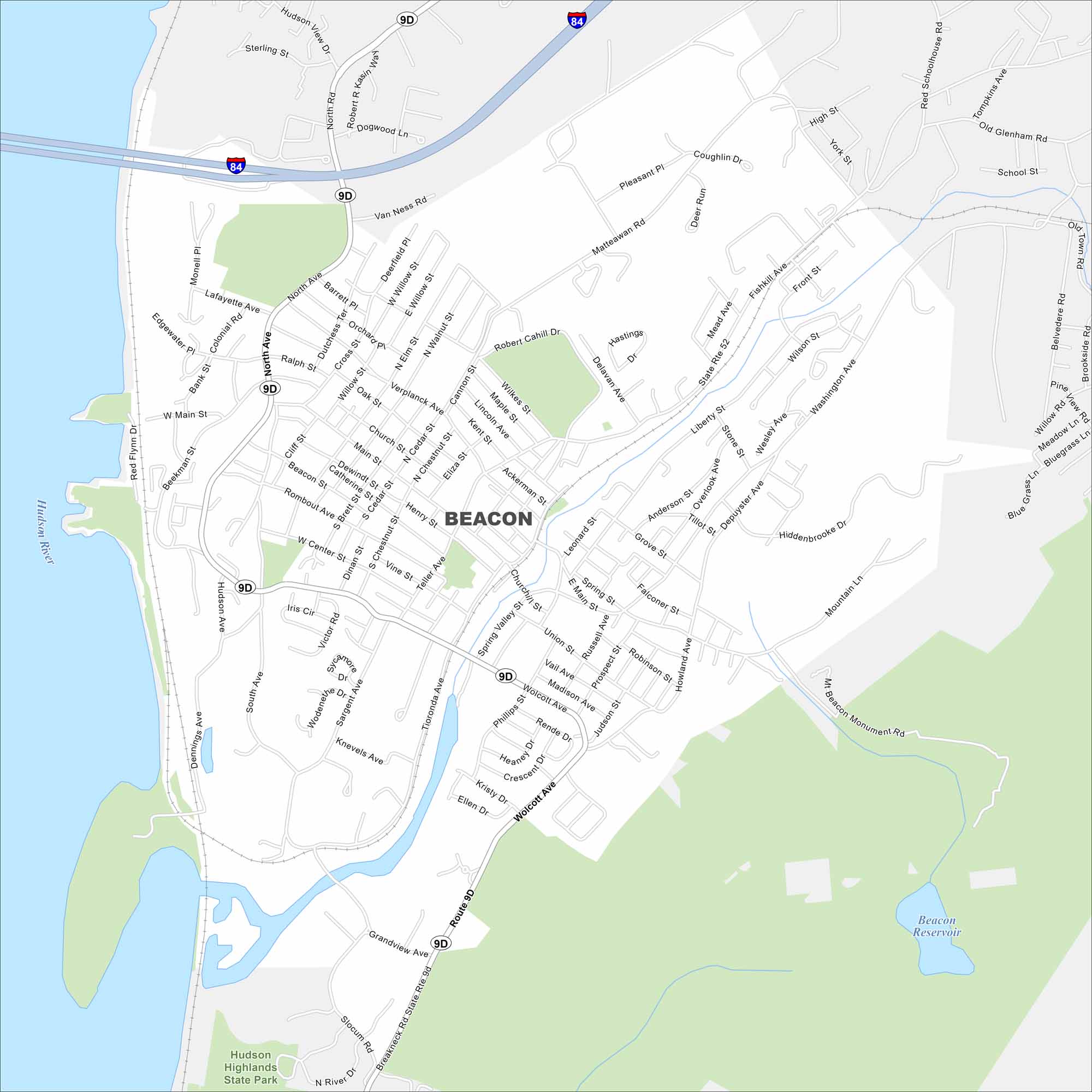
Looking for a map of Beacon, New York? This riverside city on the Hudson River is known for its art scene and views of the Hudson Highlands. Our map displays parks, waterways and highways.
Map Information
On the Map
Interstates/Highways: I-84, State Rte 9D, State Rte 52 Major Roads: Wolcott Ave, Main St, Fishkill Ave, Verplanck Ave, Teller Ave, Tioronda Ave, Sargent Ave, South Ave, North Ave, Washington Ave, Beekman St, Rombout Ave, South Ave, Liberty St, East Main St, Howland Ave, Prospect St, North Chestnut St, Henry St Lakes and Reservoirs: Beacon Reservoir Major Rivers: Hudson River Parks and Preserves: Hudson Highlands State ParkNew York State Maps
Find state maps of the Empire State.


City Maps of New York
Here are the city maps that define New York


