Map of Atlantic Beach, Florida
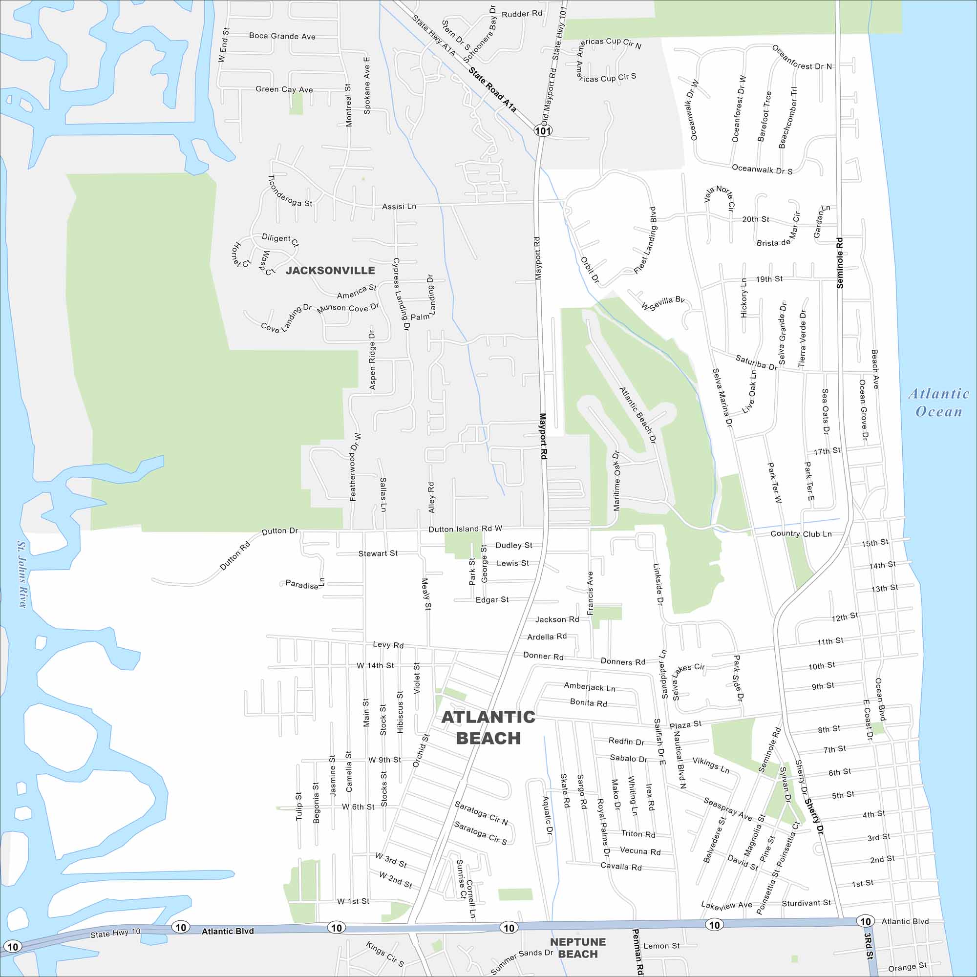
See the streets, highways, and coastal edges on this map. Our map of Atlantic Beach follows its long roads along the oceanfront. The city has lots of sandy beaches and nice seaside living.
Florida State Maps
Discover Florida through our state maps


Map Information
On the Map
Interstates/Highways: State Hwy A1A, State Hwy 101, State Hwy 10 Major Roads: Atlantic Blvd, Mayport Rd, Seminole Rd, Royal Palms Dr, Aquatic Dr, Selva Marina Dr, Ocean Blvd, Sherry Dr, Plaza St, Bonita Rd, Amberjack Ln, Donner Rd, Levy Rd, Dutton Dr, 20th St, 18th St, 15th St, 10th St, 7th St Lakes and Reservoirs: Atlantic Ocean Major Rivers: St. Johns River Parks and Preserves: Nearby Communities: Jacksonville, Neptune Beach, JacksonvilleFlorida City Maps
Chart your course through Miami and Florida’s cities


