Map of Aventura, Florida
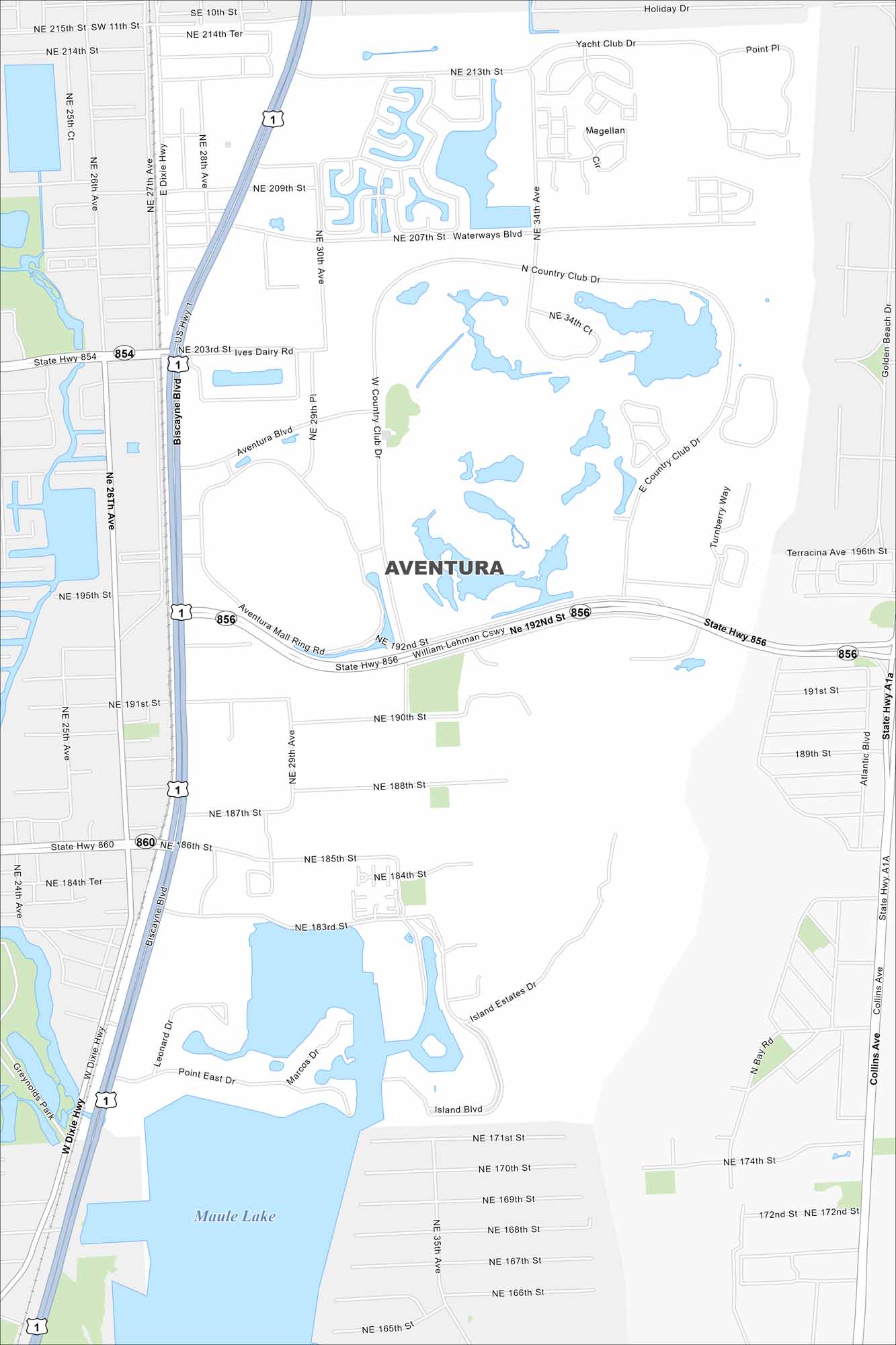
See the streets, highways, and waterways laid out here. Our map of Aventura highlights its coastal layout with canals. The city has a prime location between Miami and Fort Lauderdale.
Florida State Maps
Discover Florida through our state maps


Map Information
On the Map
Interstates/Highways: US Hwy 1, State Hwy 854, State Hwy 856, State Hwy 860, State Hwy A1A Major Roads: Biscayne Blvd, Collins Ave, William Lehman Cswy, Country Club Dr, Aventura Blvd, NE 213th St, NE 203rd St, NE 199th St, NE 191st St, NE 185th St, NE 172nd St, NE 163rd St, W Dixie Hwy, E Dixie Hwy, Turnberry Way, Island Blvd Lakes and Reservoirs: Maule Lake, Dumfoundling Bay, Enchanted Lake Parks and Preserves: Tidal Cove Water Park, Aventura Founders Park, Peace Park, Veterans Park, Pelican Community Park, Senator Gwen Margolis Park, Winston Towers Park, Founders Park, Greynolds ParkFlorida City Maps
Chart your course through Miami and Florida’s cities


