Map of Avondale, Arizona
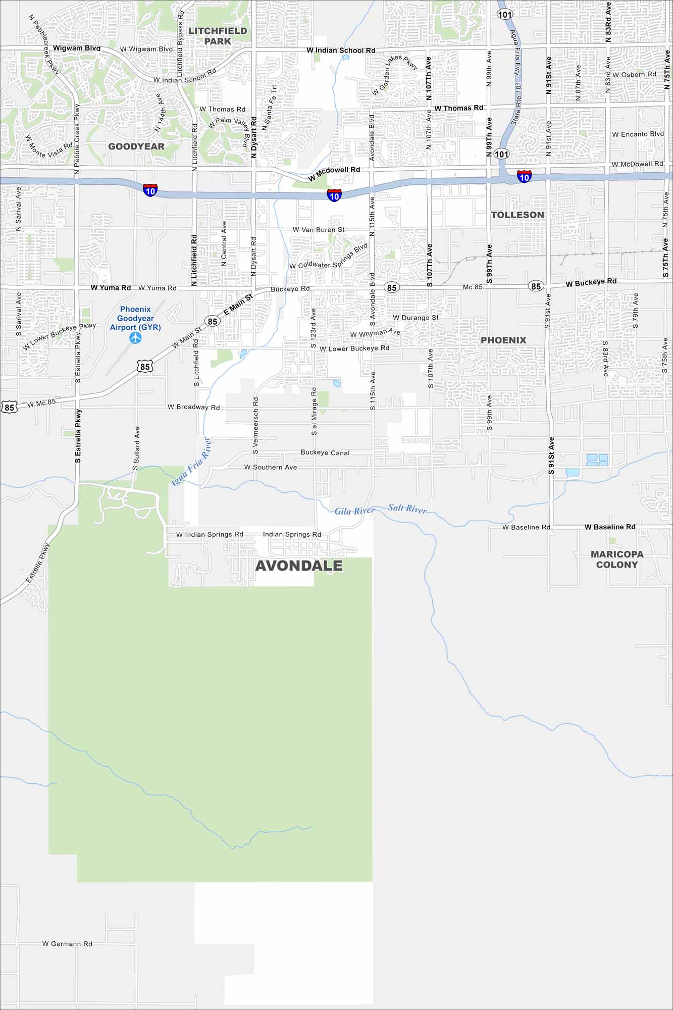
Our map of Avondale highlights the highways, streets, and desert surroundings. Roads stretch all the way to the Phoenix metro area. Avondale is also located near Estrella Mountain Regional Park.
Arizona State Maps
Check out our Arizona state maps we’ve put together


Map Information
On the Map
Interstates/Highways: I-10, State Rte 101, SR-85 Major Roads: Indian School Rd, Thomas Rd, McDowell Rd, Van Buren St, Yuma Rd, Buckeye Rd, Main St, Broadway Rd, Southern Ave, Baseline Rd, Avondale Blvd, Litchfield Rd, Dysart Rd, 107th Ave, 99th Ave, Estrella Pkwy, Bullard Ave, Lower Buckeye Rd, Wigwam Blvd, Germann Rd Airports: Phoenix Goodyear Airport (GYR) Rivers and Streams: Agua Fria River, Gila River, Salt River, Buckeye Canal Nearby Communities: Goodyear, Litchfield Park, Tolleson, Phoenix, Maricopa ColonyArizona City Maps
Here’s our full batch of Arizona city maps


