Map of Batavia, New York
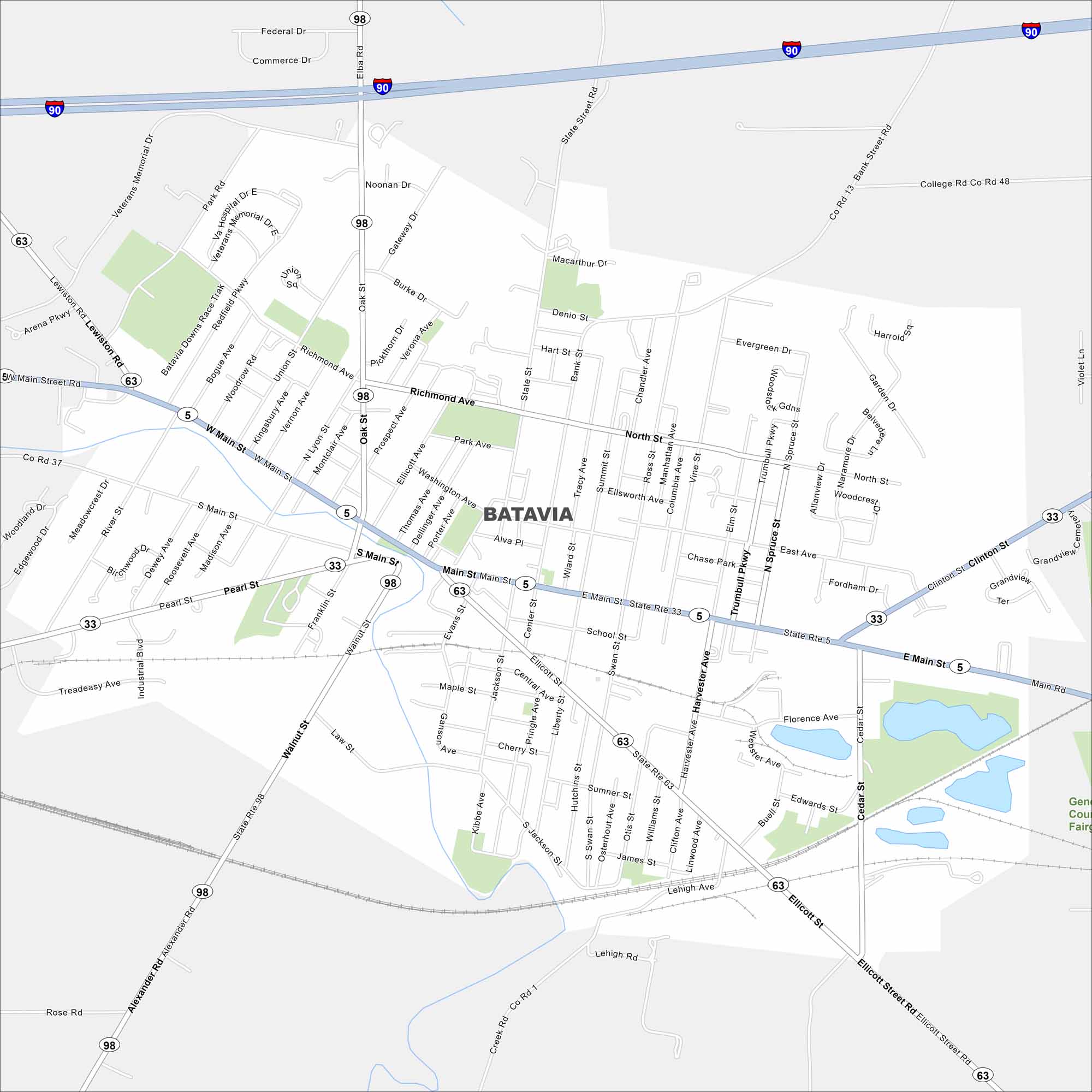
This Batavia map highlights the city between Buffalo and Rochester. See its historic landmarks and central Finger Lakes location. Our map shows its highways, waterways and parks.
Map Information
On the Map
Interstates/Highways: I-90, State Rte 5, State Rte 33, State Rte 63, State Rte 98 Major Roads: Main St, Ellicott St, Clinton St, Oak St, Richmond Ave, Pearl St, Walnut St, Alexander Rd, Lewiston Rd, Park Rd, Bank St, North St, Harvester Ave, Cedar St, Jackson St, Liberty St, Swan St, Summit St, Ross St, Miller AveNew York State Maps
Find state maps of the Empire State.


City Maps of New York
Here are the city maps that define New York


