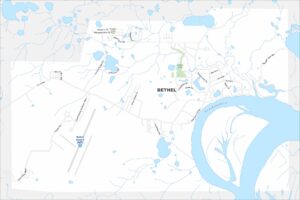
Map of Bethel, Alaska
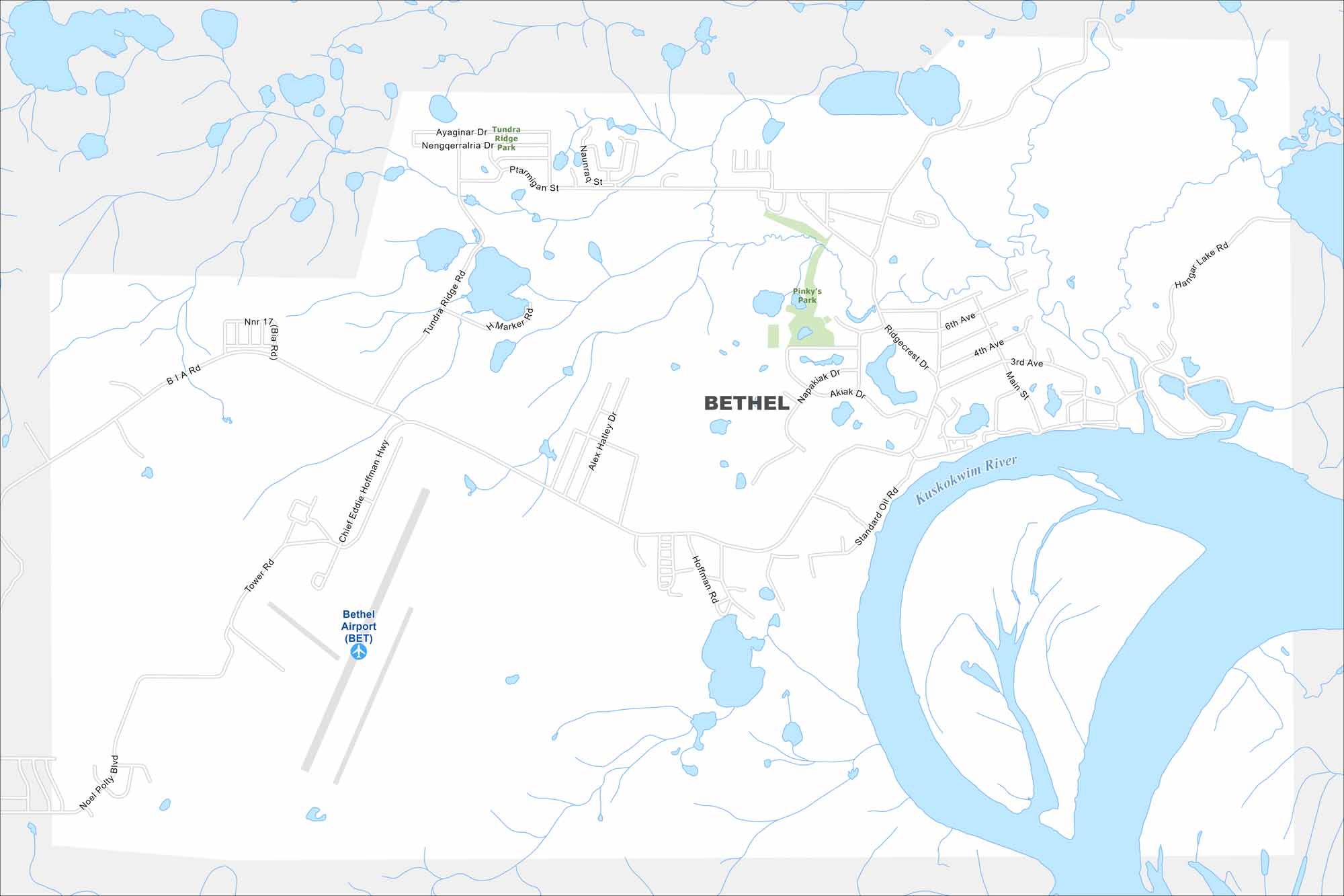
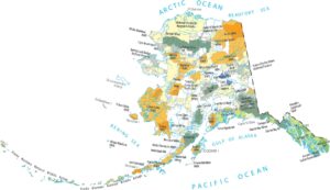
Get around Bethel with our map. It’s a hub and gateway to remote villages. Bethel sits on the Kuskokwim River in western Alaska. Our map shows waterways, small roads, and parks.
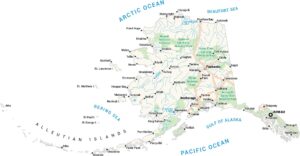
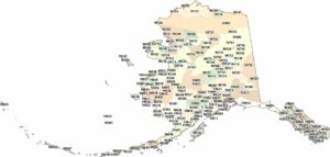
Alaska State Maps
Take a look at our Alaska state maps


Map Information
On the Map
Interstates/Highways: Chief Eddie Hoffman Hwy Major Roads: Akiaq Dr, Nakasuk Ave, Ridgecrest Dr, 3rd Ave, 4th Ave, 6th Ave, Main St, Hangar Lake Rd, Standard Oil Rd, Hoffmann Rd, Tundra Ridge Rd, Marker Rd, Ptarmigan St, Ayagnir Dr, Tundra Ridge Park Rd, Tower Rd, Noel Polty Blvd Airports: Bethel Airport (BET) Rivers and Creeks: Kuskokwim River Parks/Preserves/Forests: Pinky’s Park, Tundra Ridge ParkAlaska City Maps
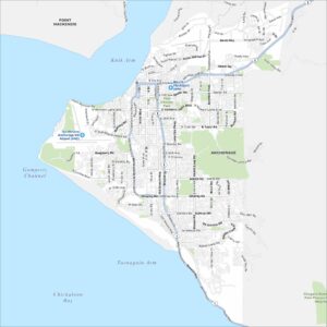
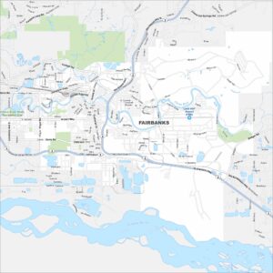
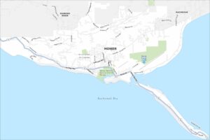
Browse our collection of Alaska city maps