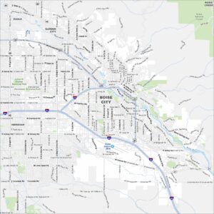
Map of Boise, Idaho
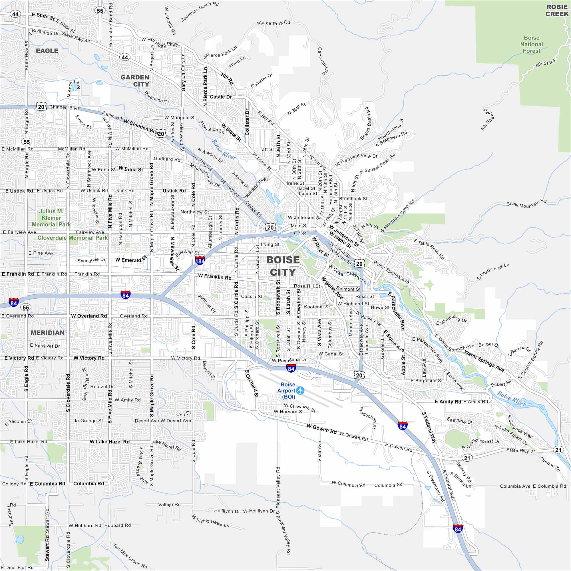
Boise is the capital of Idaho. Our map highlights its streets, parks, and of course, the Boise River. It’s often called the “City of Trees” because of its green canopy. The focus here is its highways and roads.


Map Information
On the Map
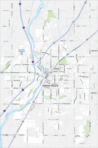
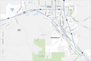
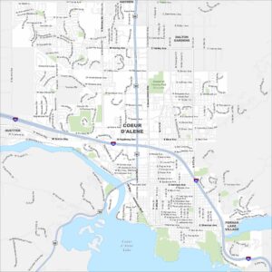
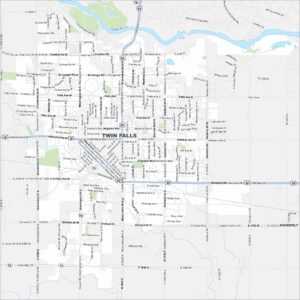
Interstates/Highways: I-184, I-84, US Hwy 20, US Hwy 26, State Rte 44, State Rte 55, State Rte 21 Major Roads: State St, Chinden Blvd, Vista Ave, Broadway Ave, Federal Way, Glenwood St, Orchard St, Curtis Rd, Cole Rd, Milwaukee St, Eagle Rd, Cloverdale Rd, Five Mile Rd, Maple Grove Rd, Ustick Rd, Fairview Ave, Franklin Rd, Overland Rd, Gowen Rd, Warm Springs Ave Airports: Boise Airport (BOI) Major Rivers: Boise River Parks and Preserves: Boise National Forest, Julius M. Kleiner Memorial Park, Eagle Island State Park Nearby Communities: Eagle, Garden City, Meridian, Robie Creek Neighborhoods: Downtown BoiseIdaho City Maps
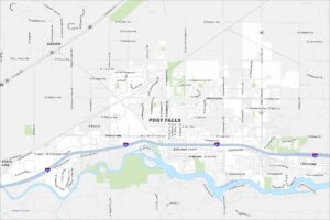
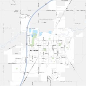
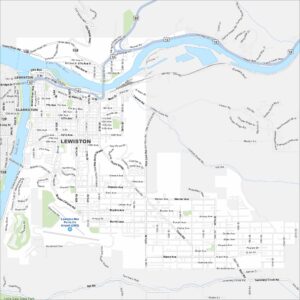
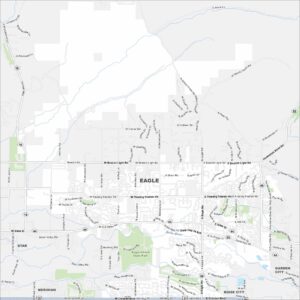
Boise and Idaho city maps right when you need them most