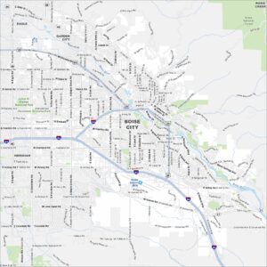
Downtown Boise Map
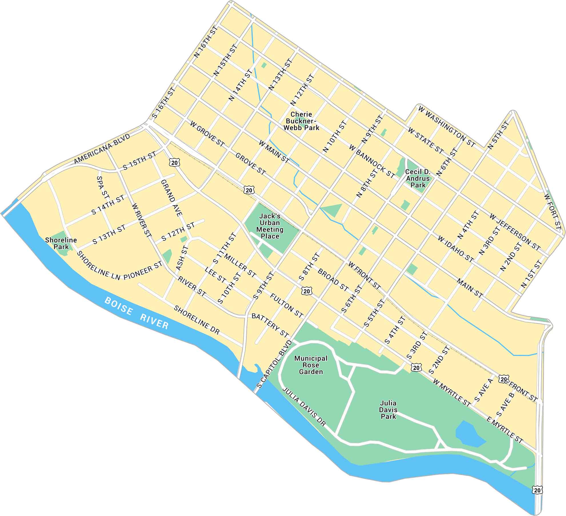
Our map of Downtown Boise highlights from Boise River to the Capitol and city center. You’ll find the main roads, local parks, and connecting highways.
Map Information
On the Map
Interstates/Highways: US Hwy 20 Major Roads: Capitol Blvd, Americana Blvd, Shoreline Dr, River St, Front St, Myrtle St, Broad St, Fulton St, Battery St, Main St, Idaho St, Bannock St, State St, Washington St, Jefferson St, Fort St, 1st St, 2nd St, 3rd St, 4th St, 5th St, 6th St, 8th St, 9th St, 10th St, 11th St, 12th St, 13th St, 14th St, 15th St, 16th St, Grove St, Miller St, Lee St, Ash St, Pioneer St, Grand Ave Major Rivers: Boise River Parks: Julia Davis Park, Municipal Rose Garden, Cecil D. Andrus Park, Cherie Buckner-Webb Park, Shoreline Park Landmarks: Jack’s Urban Meeting PlaceIdaho City Maps
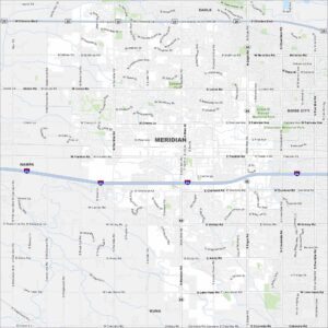
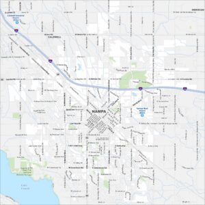
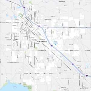
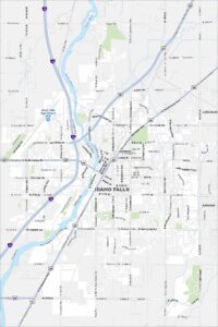
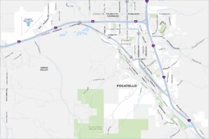
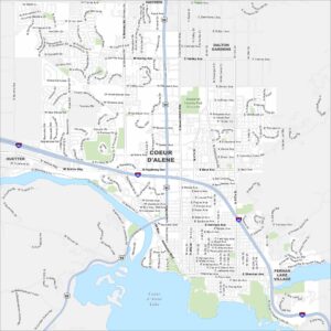
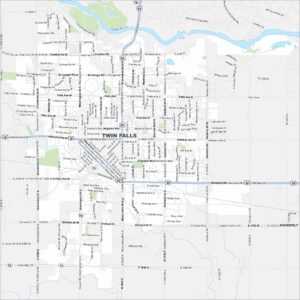
Boise and Idaho city maps right when you need them most