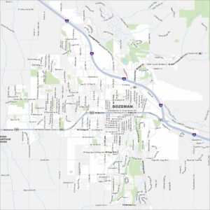
Map of Bozeman, Montana
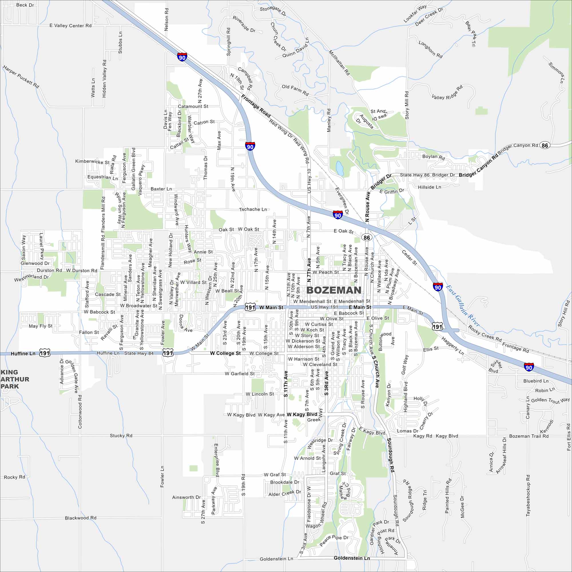
Our map of Bozeman shows its roads, parks and waterways. Mountains are on all sides. It’s a small city but feels busy with outdoor life. Growth has surged because of its setting in the Rockies.
Map Information
On the Map
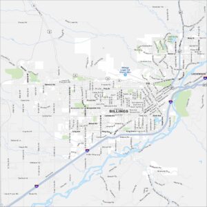
Interstates/Highways: I-90, US Hwy 191, State Rte 84, State Rte 86 Major Roads: Main St, 19th Ave, 7th Ave, 11th Ave, Jackrabbit Ln, Huffine Ln, Kagy Blvd, College St, Oak St, Rouse Ave, Broadway Ave, Church Ave, Highland Blvd, Sourdough Rd, Frontage Rd, Durston Rd, Baxter Ln, Davis Ln, Valley Center Rd, Fowler Ln Major Rivers: East Gallatin RiverMontana State Maps
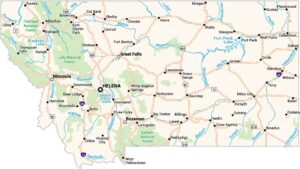
Wander through this wide-open state with our map collection.


Montana City Maps
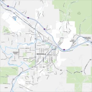
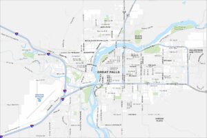
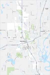
See our map collection of Billings and Montana cities