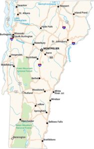
Map of Burlington, Vermont
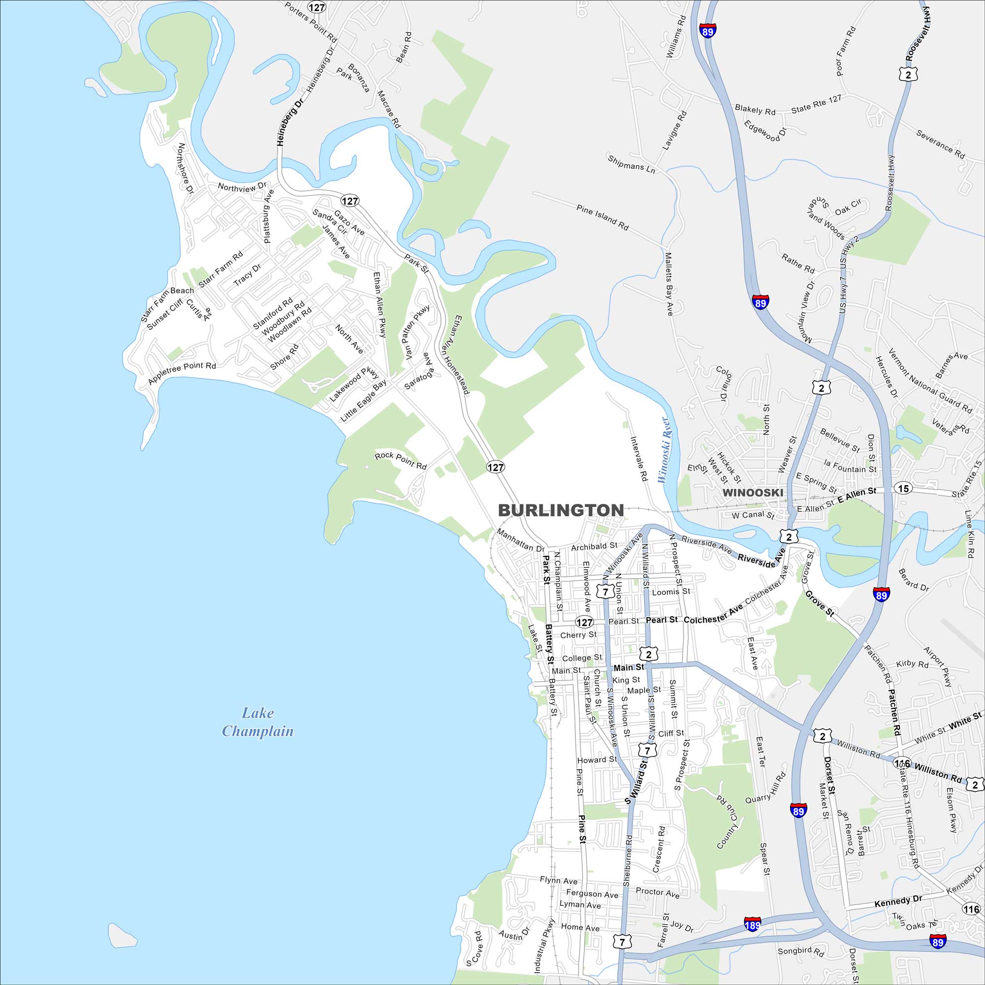
Burlington is set on the eastern shore of Lake Champlain. Our map shows its waterfront parks, highways and the Winooski River. The city is often called Vermont’s Queen City and is the largest in the state.
Map Information
On the Map
Interstates/Highways: I-89, I-189, US Hwy 2, US Hwy 7, State Rte 127, State Rte 15, State Rte 116 Major Roads: Main St, Pearl St, Shelburne Rd, Williston Rd, Colchester Ave, Riverside Ave, Battery St, Pine St, North Ave, North St, Cherry St, College St, King St, Maple St, Howard St, Flynn Ave, Kennedy Dr, Dorset St, Patchen Rd, Spear St Lakes and Reservoirs: Lake Champlain Major Rivers: Winooski River Nearby Communities: WinooskiVermont State Maps
Explore maps from the Green Mountain State.