Map of Waxhaw, North Carolina
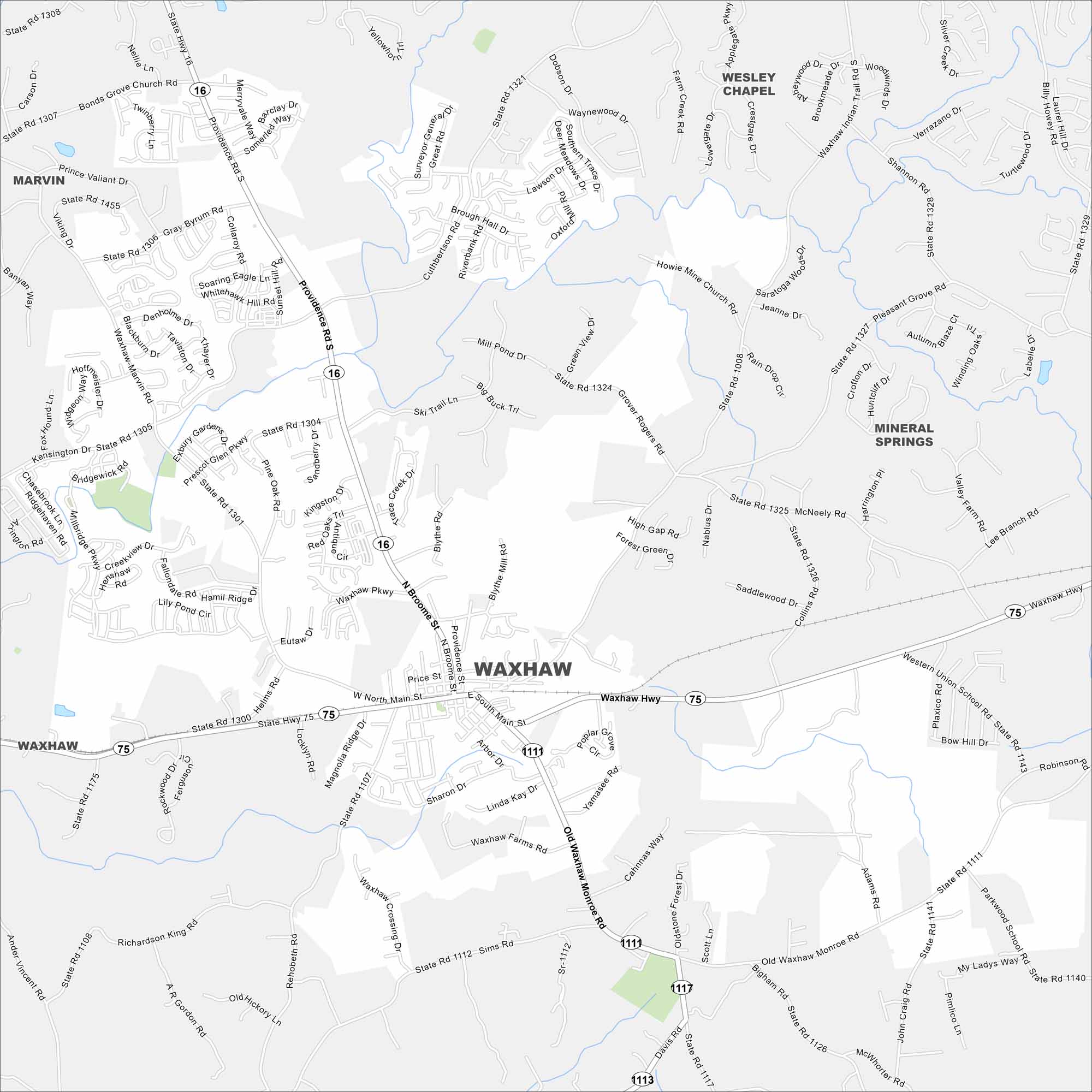
Here’s a simple map of Waxhaw, a small town near Charlotte. Its historic downtown and railroad tracks give it old-time charm. But its hospitality makes people stay for good.
Map Information
On the Map
Interstates/Highways: State Hwy 16, State Hwy 75, State Hwy 1111, State Hwy 1113, State Hwy 1117 Major Roads: Providence Rd, Main St, Waxhaw Hwy, Waxhaw Pkwy, Broome St, Old Waxhaw Monroe Rd, New Town Rd, Bonds Grove Church Rd, Waxhaw Marvin Rd, Gray Byrum Rd, Howie Mine Church Rd, McNeely Rd, Collins Rd, Sims Rd, Rehobeth Rd, Richardson King Rd, Davis Rd, Western Union School Rd, Parkwood School Rd, Billy Howie Rd Nearby Communities: Marvin, Wesley Chapel, Mineral SpringsNorth Carolina State Maps
Get to know the mountains and coastlines of North Carolina.


City Maps of North Carolina
Journey through North Carolina with our city maps


