Map of Camp Verde, Arizona
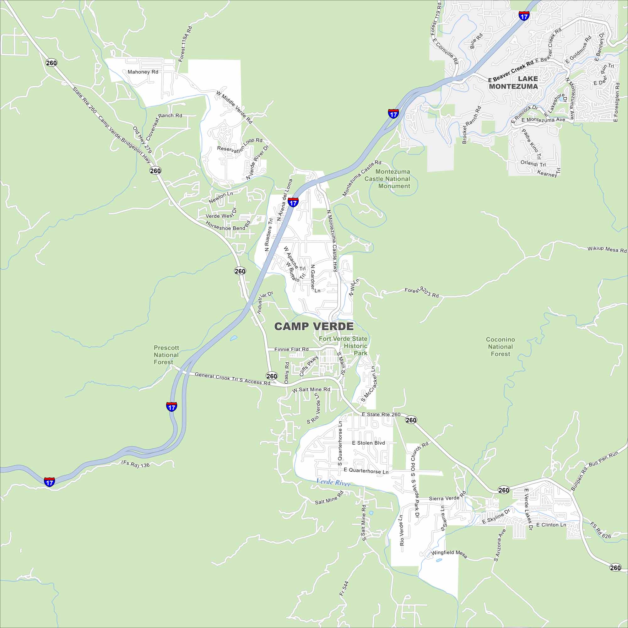
Camp Verde is tucked in central Arizona along the Verde River. Our map shows a setting of desert terrain and green valley areas. The town is known for Montezuma Castle National Monument.
Arizona State Maps
Check out our Arizona state maps we’ve put together


Map Information
On the Map
Interstates/Highways: I-17, State Rte 260, Camp Verde-Bridgeport Hwy, General Crook Trl Major Roads: Main St, Finnie Flat Rd, Salt Mine Rd, Middle Verde Rd, Montezuma Castle Hwy, Oasis Rd, Cliffs Pkwy, Quarterhorse Ln, Stolen Blvd, Old Hwy 279, Cherry Creek Rd, Montezuma Ave, Beaver Creek Rd, Cornville Rd, Rimrock Rd, Lakeshore Dr, Orlandi Trl, Kearney Rd, Wikiup Mesa Rd, Skyline Dr Rivers and Creeks: Verde River Parks/Preserves/Forests: Prescott National Forest, Coconino National Forest, Montezuma Castle National Monument, Fort Verde State Historic Park Nearby Communities: Lake MontezumaArizona City Maps
Here’s our full batch of Arizona city maps


