Map of Cape Canaveral, Florida
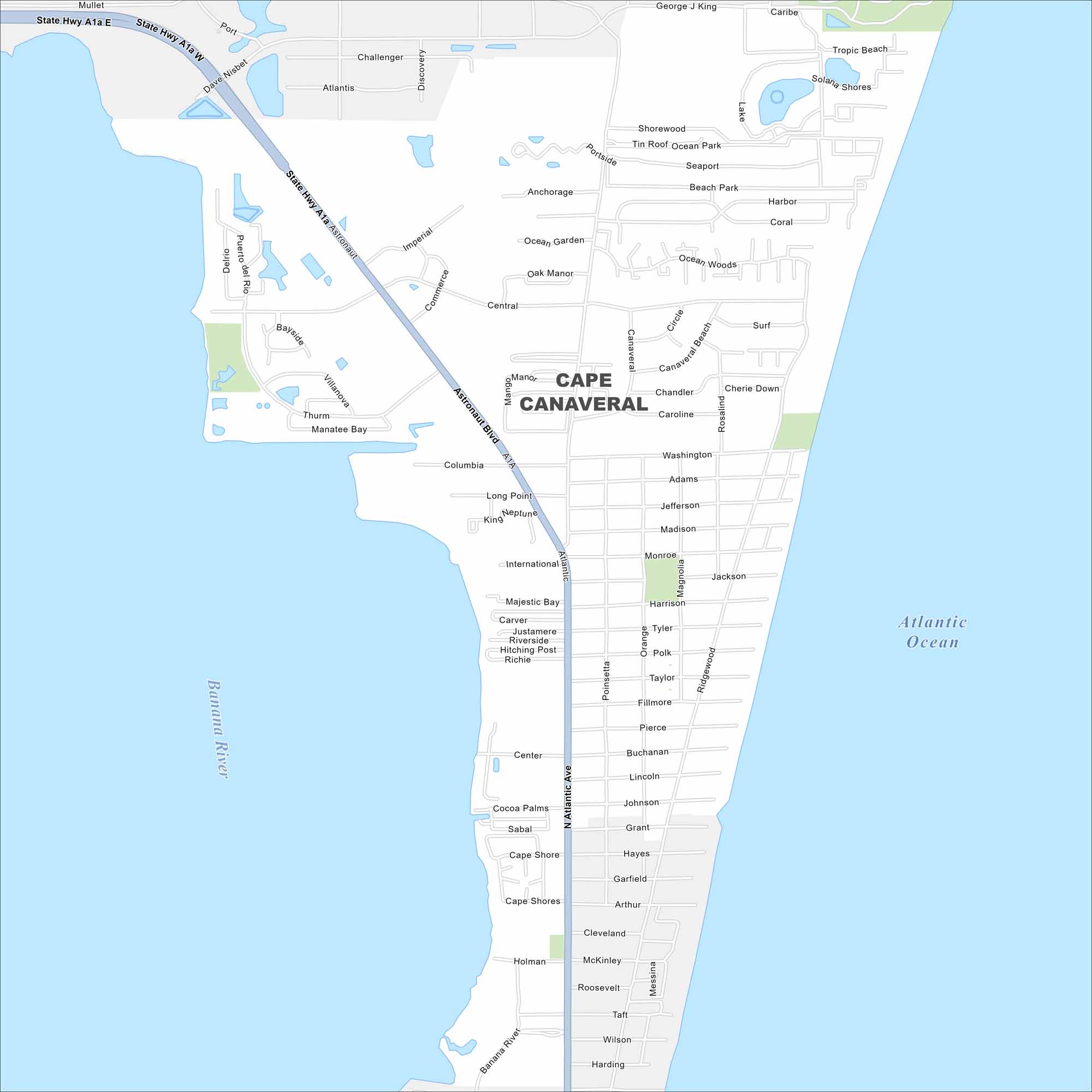
Cape Canaveral is on Florida’s Space Coast. Our map shows barrier island streets, waterways, and beach access. It’s known worldwide because of the Kennedy Space Center and rocket launches.
Florida State Maps
Discover Florida through our state maps


Map Information
On the Map
Interstates/Highways: State Hwy A1A Major Roads: Astronaut Blvd, N Atlantic Ave, Central Blvd, George J King Blvd, Shorewood Dr, Portside Ave, Columbia Dr, International Dr, Center St, Holman Rd, McKinley Ave, Roosevelt Ave, Taft Ave, Wilson Ave, Harding Ave, Madison Ave, Monroe Ave, Harrison Ave, Taylor Ave, Fillmore Ave Lakes and Reservoirs: Atlantic Ocean Major Rivers: Banana RiverFlorida City Maps
Chart your course through Miami and Florida’s cities


