Map of Crestview, Florida
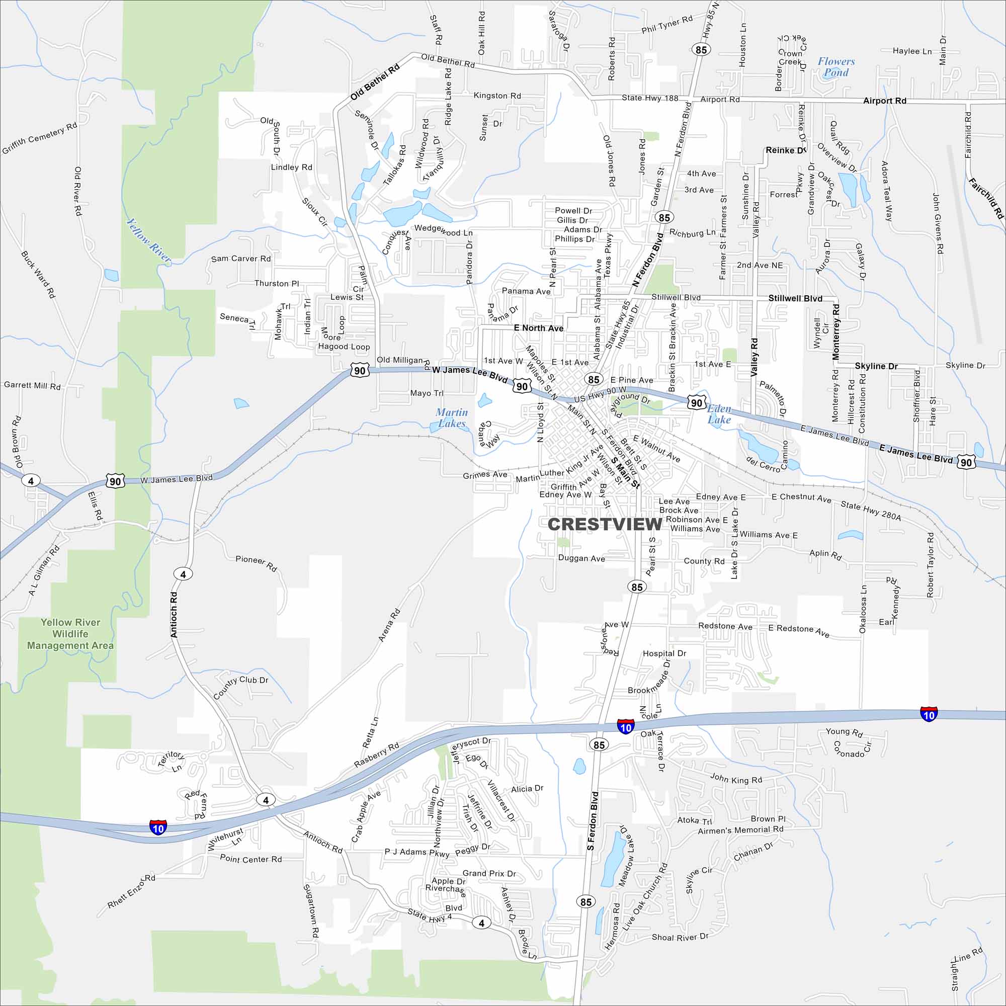
Check out Crestview with its streets, highways, and park areas. Known as the “Hub City” of northwest Florida, it connects several major routes.
Florida State Maps
Discover Florida through our state maps


Map Information
On the Map
Interstates/Highways: I-10, US Hwy 90, State Hwy 85, State Hwy 280A Major Roads: Ferdon Blvd, Main St, James Lee Blvd, P J Adams Pkwy, Stillwell Blvd, Airport Rd, Old Bethel Rd, Antioch Rd, Redstone Ave, Rasberry Rd, Arena Rd, Brookmeade Dr, Hospital Dr, Aplin Rd, Valley Rd, Robinson Ave, Duggan Ave, Edney Ave, Brock Ave, Williams Ave Lakes and Reservoirs: Flowers Pond, Martin Lakes, Eden Lake Major Rivers: Yellow River Parks and Preserves: Yellow River Wildlife Management AreaFlorida City Maps
Chart your course through Miami and Florida’s cities


