Map of Dearborn, Michigan
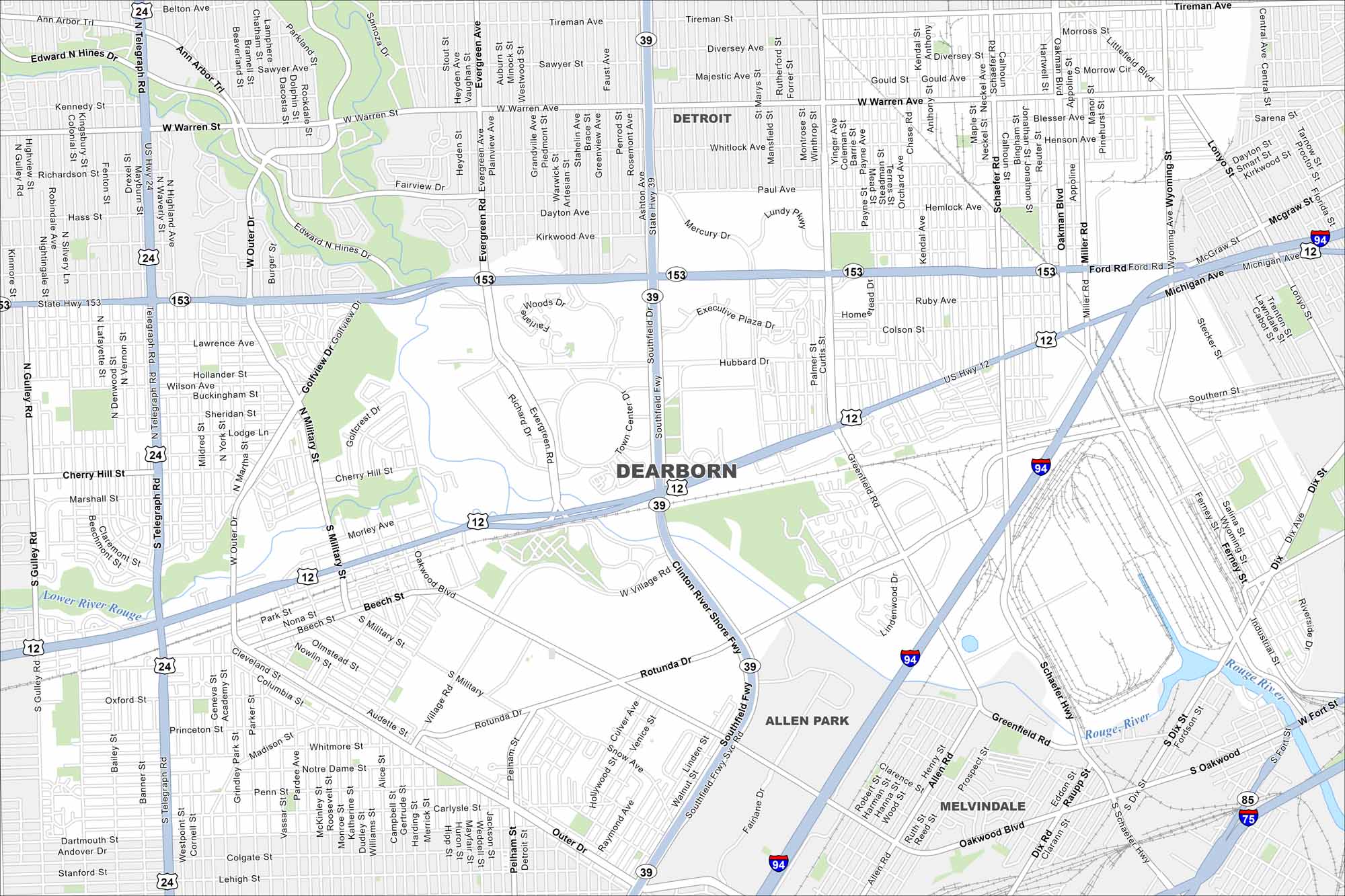
Home to the Ford Motor Company, Dearborn lies just west of Detroit. The Rouge River flows through its neighborhoods. Our map of Dearborn shows its streets, highways, and nearby parks.
Map Information
On the Map
Interstates/Highways: I-94, US Hwy 12, State Rte 39, State Rte 153 Major Roads: Michigan Ave, Southfield Fwy, Ford Rd, Warren Rd, Telegraph Rd, Outer Dr, Rotunda Dr, Oakwood Blvd, Evergreen Rd, Greenfield Rd, Schaefer Rd, Wyoming Ave, Hubbard Dr, Paul Ave, Cherry Hill Rd, Village Rd, Military St, Monroe St, Gulley Rd, Beech Daly Rd Lakes and Reservoirs: Rouge River, Lower River Rouge Nearby Communities: Detroit, Dearborn Heights, Inkster, Allen Park, MelvindaleMichigan State Maps
Get to know Michigan with our detailed maps


City Maps of Michigan
Check out our maps of Detroit and other cities in Michigan


