Map of Deerfield Beach, Florida
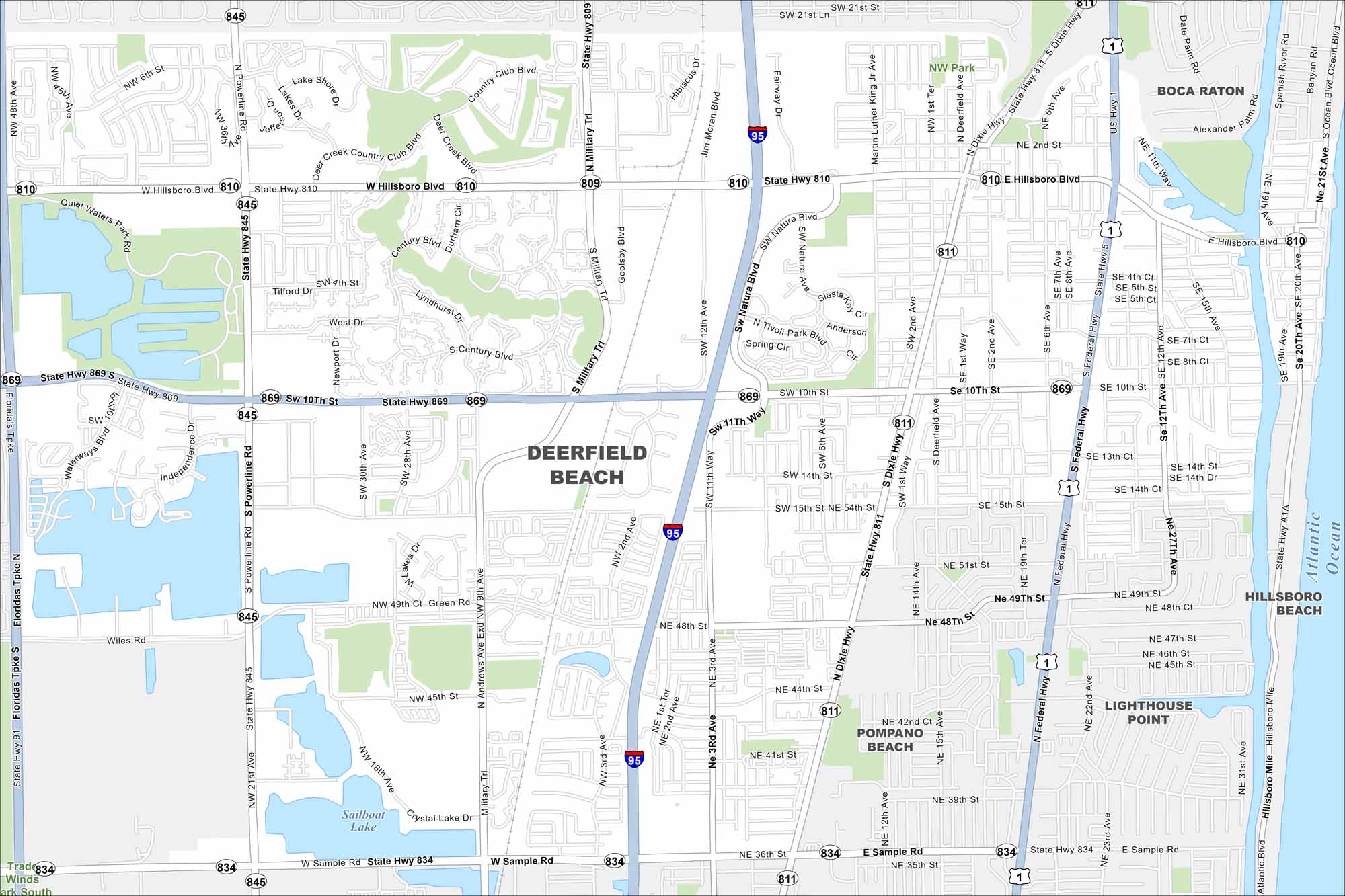
Take a look at this map of Deerfield Beach with its streets, waterways, and coastal parks. North of Fort Lauderdale, the city is known for its fishing pier and long stretch of Atlantic shoreline.
Florida State Maps
Discover Florida through our state maps


Map Information
On the Map
Interstates/Highways: I-95, US Hwy 1, State Hwy 869, State Hwy 810, State Hwy 834, State Hwy 845, State Hwy 811, State Hwy A1A Major Roads: Hillsboro Blvd, Federal Hwy, Dixie Hwy, Powerline Rd, Military Trl, Sample Rd, Andrews Ave, Tenth St, 48th St, Natura Blvd, Jim Moran Blvd, Goolsby Blvd, 15th St, 12th Ave, 3rd Ave, 10th Ave Lakes and Reservoirs: Atlantic Ocean, Sailboat Lake Nearby Communities: Boca Raton, Pompano Beach, Lighthouse Point, Hillsboro BeachFlorida City Maps
Chart your course through Miami and Florida’s cities


