Map of Delray Beach, Florida
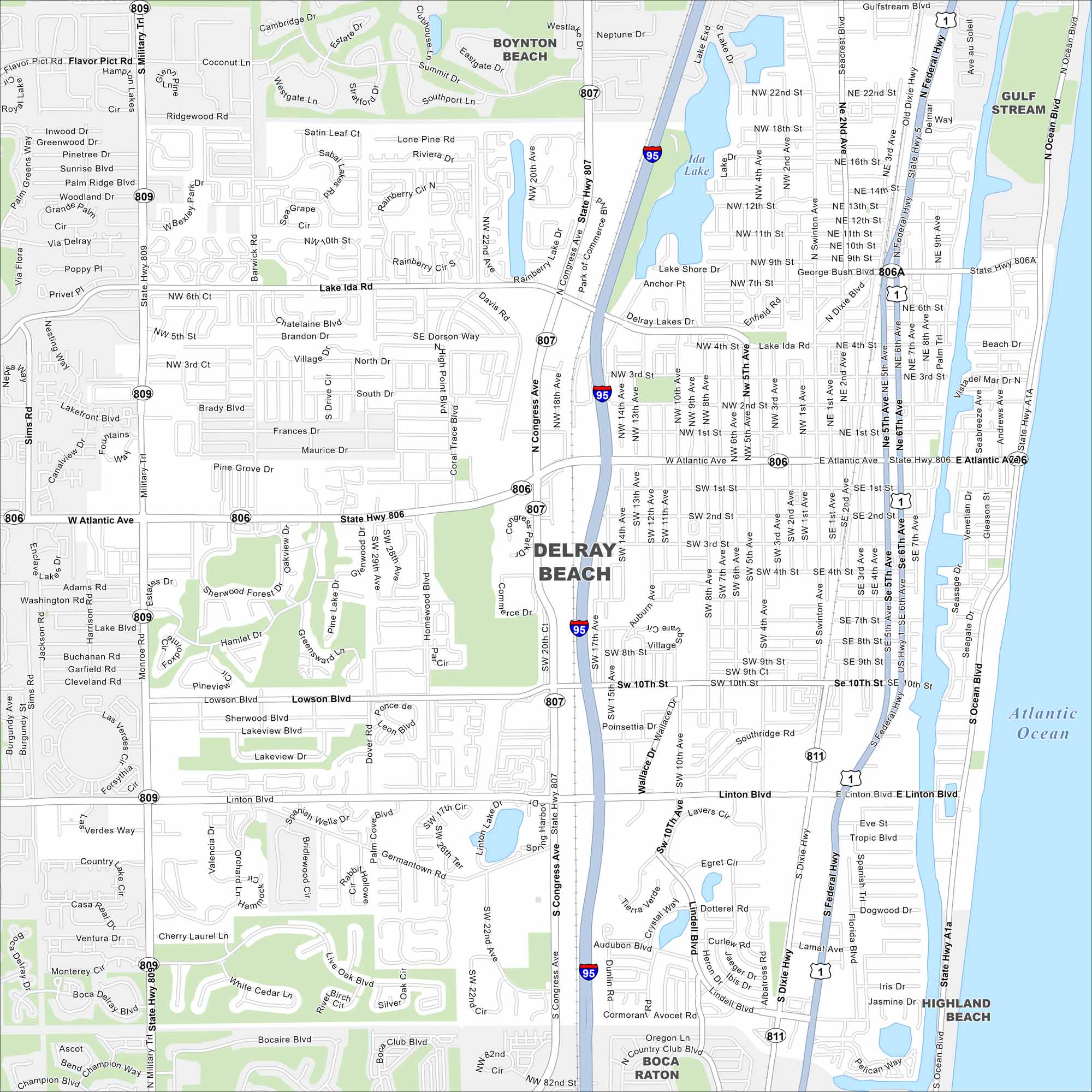
Explore our map of Delray Beach on Florida’s Atlantic coast. This map highlights sandy beaches, the Intracoastal Waterway, and neighborhoods. Its lively downtown is a major draw.
Florida State Maps
Discover Florida through our state maps


Map Information
On the Map
Interstates/Highways: I-95, US Hwy 1, State Rte 806, State Rte 809, State Rte 807, State Rte 811, State Rte A1A Major Roads: Atlantic Ave, Military Trl, Congress Ave, Linton Blvd, Federal Hwy, Swinton Ave, Lowson Blvd, Lake Ida Rd, George Bush Blvd, Germantown Rd, Seacrest Blvd, Dixie Hwy, Golf Rd, Old Dixie Hwy, Flavor Pict Rd, Woolbright Rd, Homewood Blvd, High Point Blvd, Barwick Rd, Palm Trail Lakes and Reservoirs: Atlantic Ocean, Ida Lake, Lake Shore Dr, Lake Ida Nearby Communities: Boynton Beach, Gulf Stream, Highland Beach, Boca RatonFlorida City Maps
Chart your course through Miami and Florida’s cities


