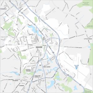
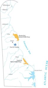
Map of Dover, Delaware
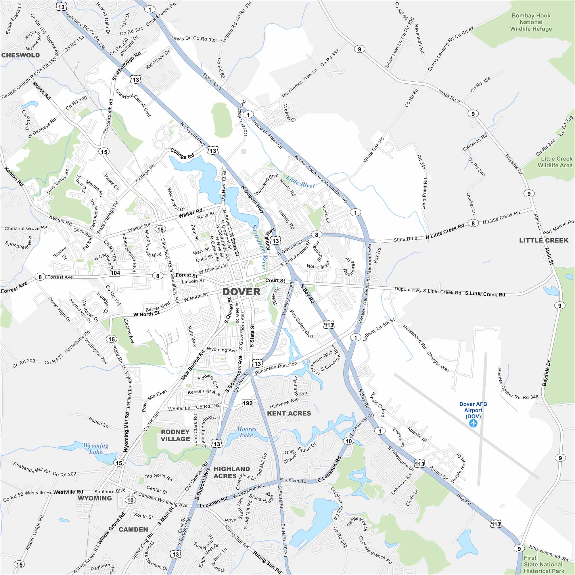
Explore our map of Dover in the heart of Delaware. You’ll see the St. Jones River flowing by and roadways linking it across the state. The city is the state capital and a centerpiece of its history.
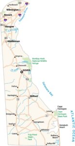
Delaware State Maps
Uncover Delaware with our state maps


Map Information
On the Map
Interstates/Highways: US Hwy 13, US Hwy 113, US Hwy 13 Alt, State Rte 1, State Rte 8, State Rte 10 Major Roads: Bay Rd, Division St, State St, Governors Ave, North St, Walker Rd, Forest St, College Rd, Scarborough Rd, New Burton Rd, Kenton Rd, Saulsbury Rd, Little Creek Rd, South St, Webbs Ln, Wyoming Mill Rd, Leipsic Rd, White Oak Rd, Persimmon Tree Ln, Mifflin Rd Airports: Dover AFB Airport (DOV) Lakes and Reservoirs: Moores Lake, Wyoming Lake, Silver Lake Major Rivers: Little River, Saint Jones River Parks and Forests: Bombay Hook National Wildlife Refuge, Little Creek Wildlife Area Nearby Communities: Camden, Wyoming, Kent Acres, Rodney Village, Highland Acres, Cheswold, Little CreekDelaware City Maps
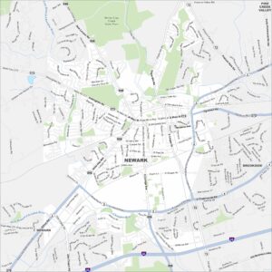
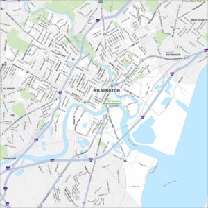
Find Wilmington and maps of Delaware’s cities here