Map of Farmington Hills, Michigan
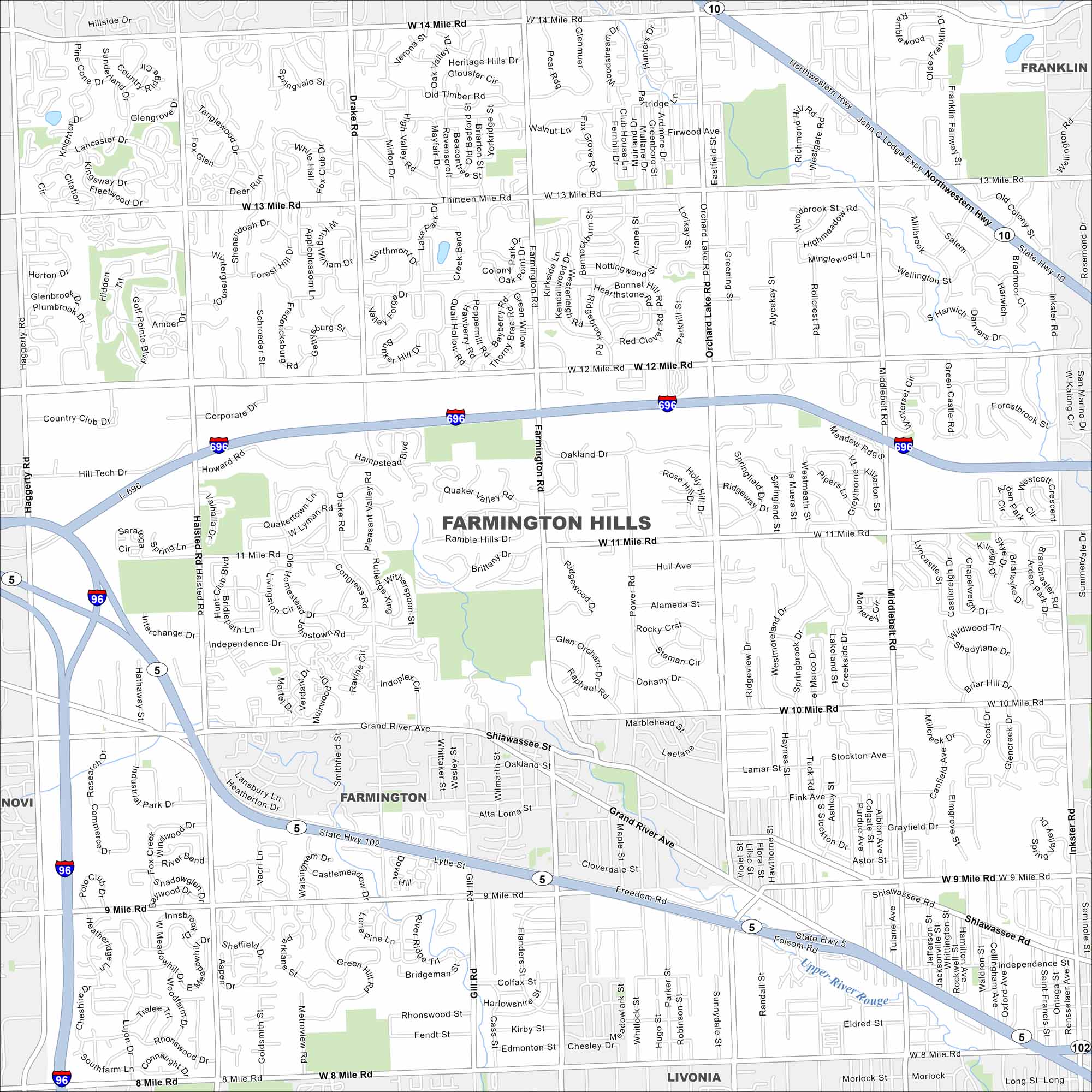
Our map of Farmington Hills shows it northwest of Detroit. Suburban neighborhoods fill in between I-696 and State Highway 5.
Map Information
On the Map
Interstates/Highways: I-696, I-96, State Rte 102, State Rte 10, State Rte 5, Northwestern Hwy Major Roads: 12 Mile Rd, 10 Mile Rd, 13 Mile Rd, 14 Mile Rd, 11 Mile Rd, 8 Mile Rd, 9 Mile Rd, Grand River Ave, Orchard Lake Rd, Farmington Rd, Middlebelt Rd, Inkster Rd, Haggerty Rd, Halsted Rd, Drake Rd, Freedom Rd, Shiawassee Rd, 10 Mile Rd, Power Rd Nearby Communities: Farmington, Novi, Livonia, FranklinMichigan State Maps
Get to know Michigan with our detailed maps


City Maps of Michigan
Check out our maps of Detroit and other cities in Michigan


