Map of Fuquay-Varina, North Carolina
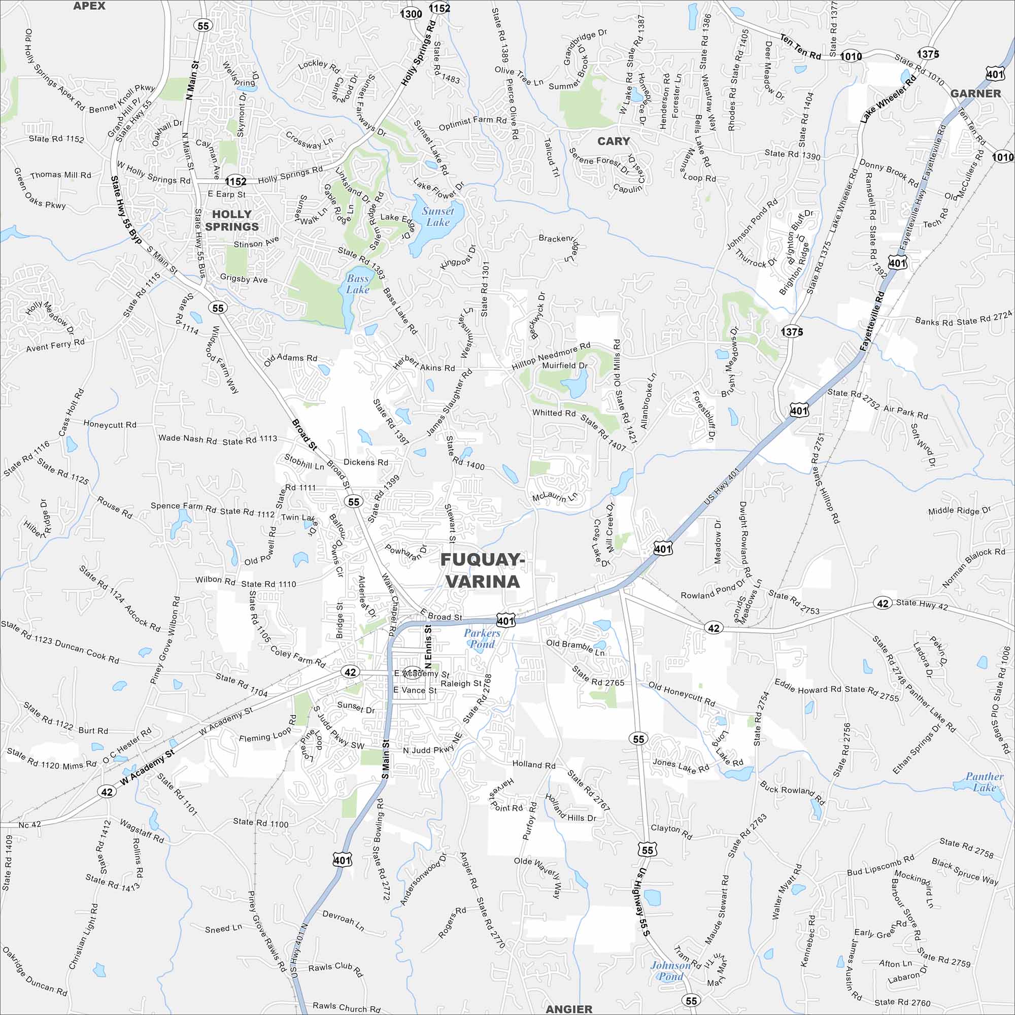
Check out our map of Fuquay-Varina, just south of Raleigh. Highways cross the town, with streams and green areas in between. Sunset and Bass Lakes are key features here.
Map Information
On the Map
Interstates/Highways: US Hwy 401, State Rte 55, State Rte 42 Major Roads: Main St, Judd Pkwy, Broad St, Academy St, Ennis St, Sunset Dr, Vance St, Raleigh St, Wagstaff Rd, Piney Grove Wilbon Rd, Sexton Rd, Hilltop Needmore Rd, Fleming Rd, Crossway Ln, Lakeway Dr, Old Honeycutt Rd, Dwight Rowland Rd, Angier Rd, Stewart St, Dickens Rd Lakes and Reservoirs: Bass Lake, Sunset Lake, Parkers Pond, Johnson Pond, Panther Lake Nearby Communities: Holly Springs, Cary, Apex, Garner, AngierNorth Carolina State Maps
Get to know the mountains and coastlines of North Carolina.


City Maps of North Carolina
Journey through North Carolina with our city maps


