Map of Hallandale Beach, Florida
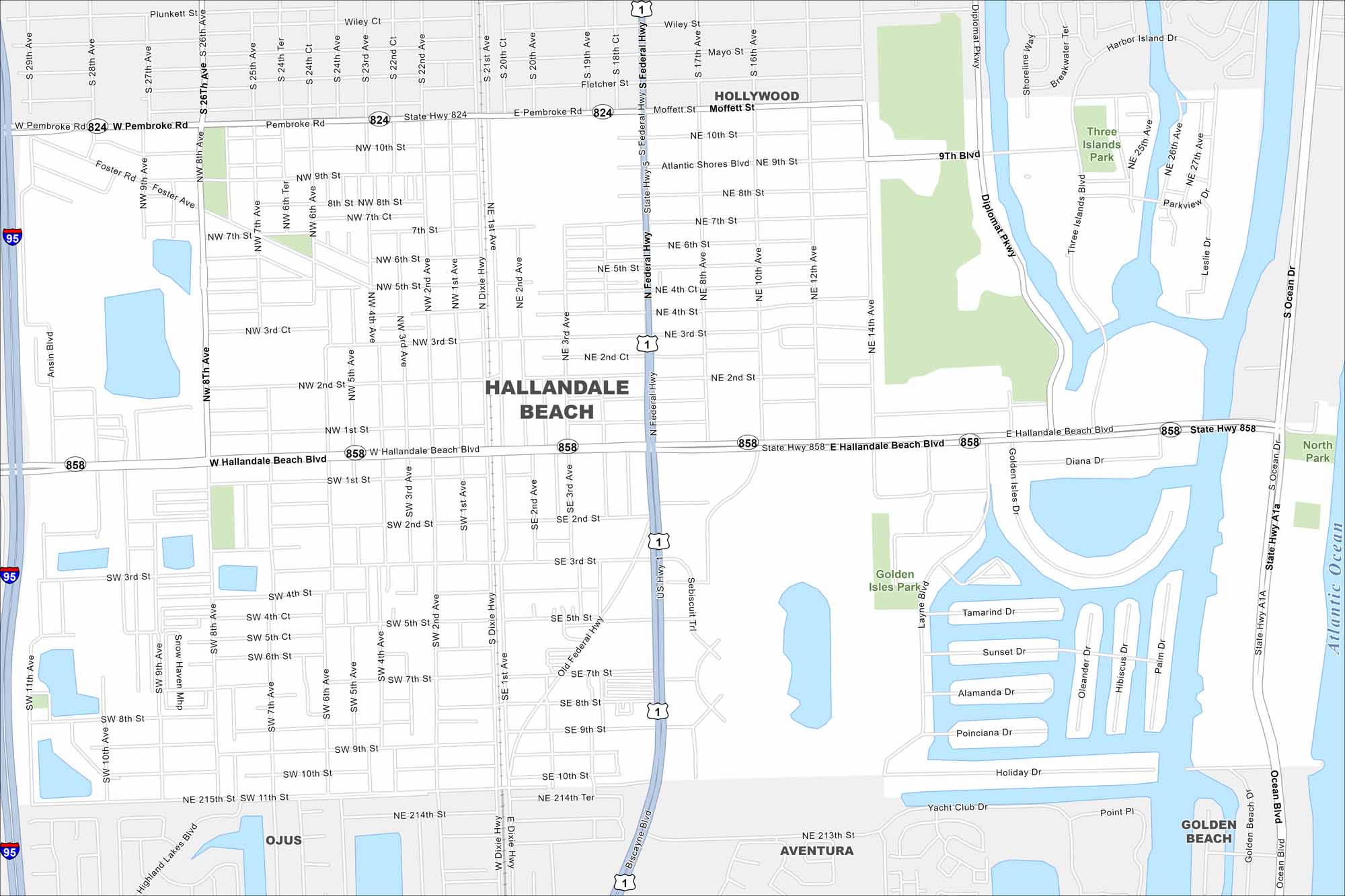
Our map of Hallandale Beach shows its strip along the Atlantic coast. Canals and waterways flow through the city. It sits between Miami and Fort Lauderdale.
Florida State Maps
Discover Florida through our state maps


Map Information
On the Map
Interstates/Highways: I-95, US Hwy 1, State Hwy 824, State Hwy 858, State Hwy A1A, Federal Hwy Major Roads: Hallandale Beach Blvd, Pembroke Rd, Diplomat Pkwy, Ocean Blvd, Dixie Hwy, Old Federal Hwy, 26th Ave, 14th Ave, 8th Ave, 5th Ave, 4th Ave, Atlantic Shores Blvd, 10th St, 9th St, 1st St, Foster Rd Lakes and Reservoirs: Atlantic Ocean Parks and Preserves: Three Islands Park, Golden Isles Park, North Park Nearby Communities: Hallandale Beach, Hollywood, Aventura, Golden Beach, OjusFlorida City Maps
Chart your course through Miami and Florida’s cities


