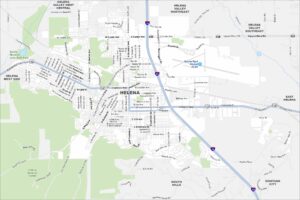
Map of Helena, Montana
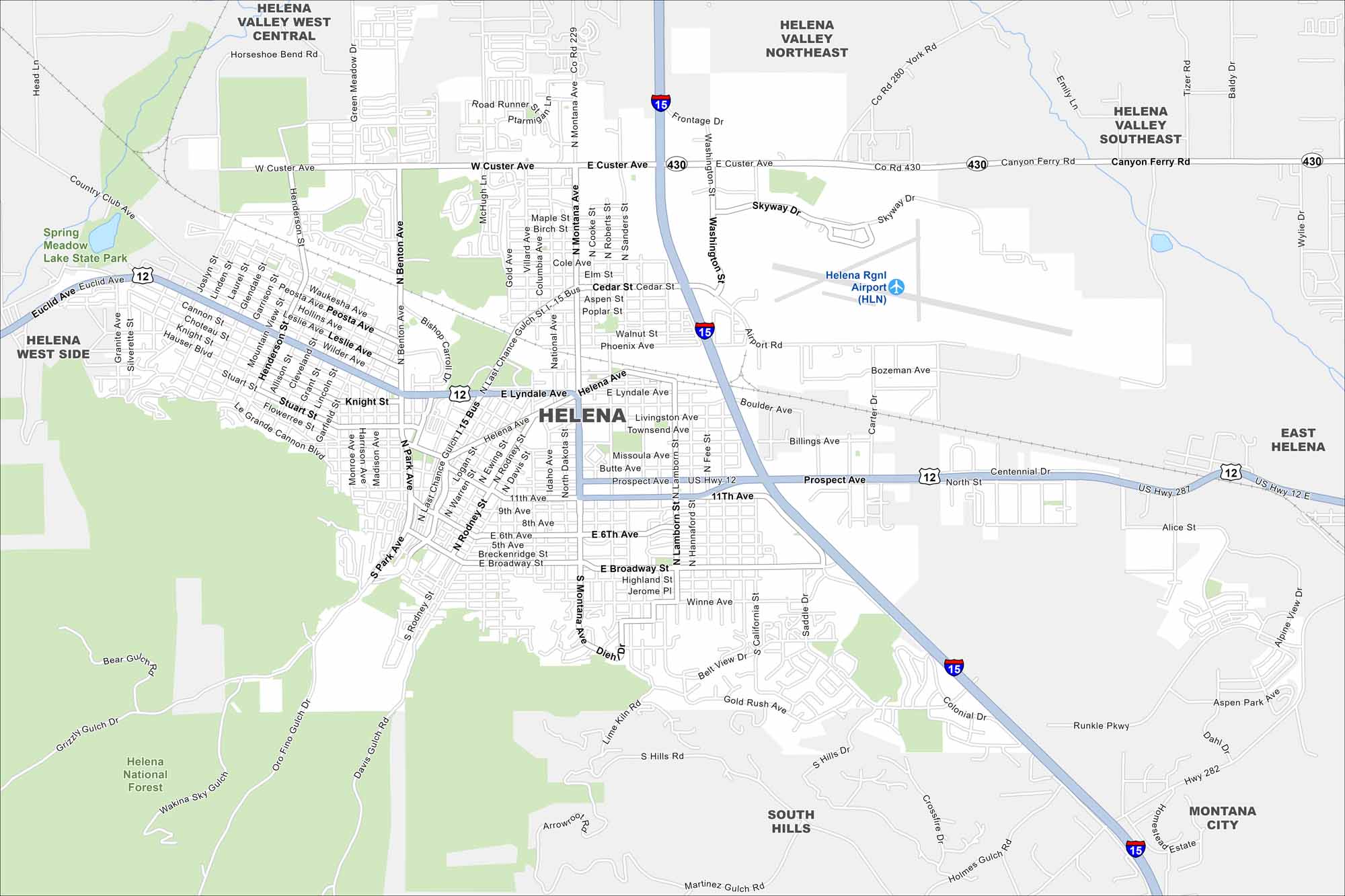
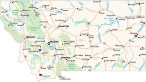
Helena sits in west-central Montana, resting against the Rocky Mountain foothills. This map highlights its mountain backdrop and winding roads. Valleys spread outward, making it a scenic capital city.
Map Information
On the Map
Interstates/Highways: I-15, US Hwy 12, US Hwy 287, State Rte 282, State Rte 430 Major Roads: Main St, Montana Ave, Last Chance Gulch, Lyndale Ave, Euclid Ave, Custer Ave, Prospect Ave, Broadway St, 11th Ave, Benton Ave, Park Ave, Fee St, Washington St, Cedar St, Skyway Dr, Frontage Rd, Colonial Dr, Henderson St, Sierra Rd, York Rd Airports: Helena Rgnl Airport (HLN) Parks and Preserves: Spring Meadow Lake State Park, Helena National Forest Nearby Communities: Helena Valley West Central, Helena Valley Northeast, Helena Valley Southeast, West Helena, East Helena, South Hills, Montana CityMontana State Maps
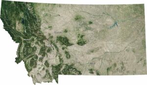
Wander through this wide-open state with our map collection.


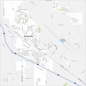
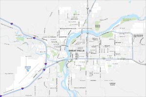
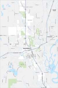
Montana City Maps
See our map collection of Billings and Montana cities