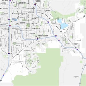
Map of Henderson, Nevada
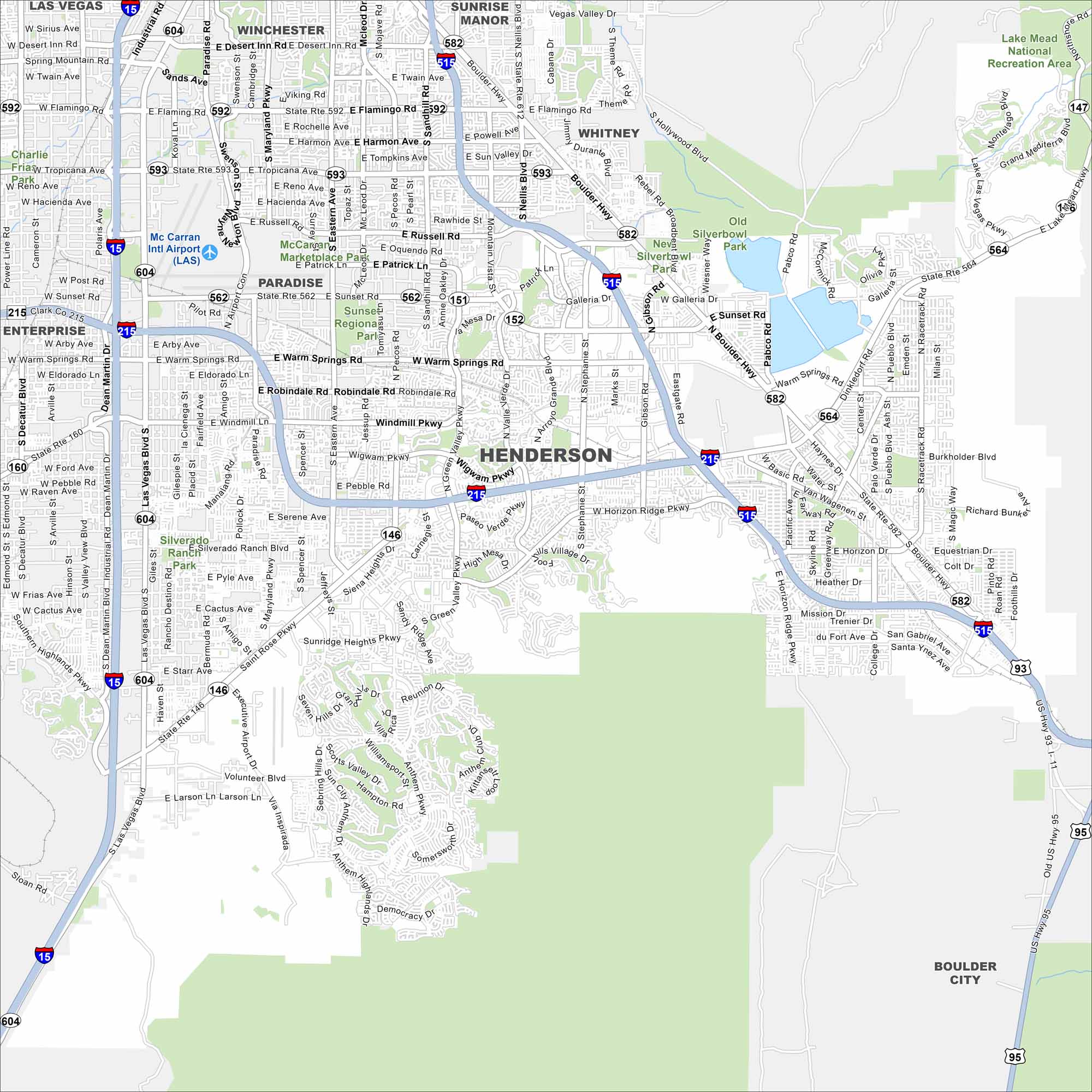
Henderson is just southeast of Las Vegas in the Mojave Desert. Neighborhoods spread between desert hills and the edge of Lake Mead. It’s one of Nevada’s fastest-growing cities and known for its sunny climate.
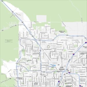
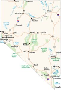
Map Information
On the Map
Interstates/Highways: I-15, I-215, I-515, US Hwy 93, US Hwy 95, State Rte 592, State Rte 593, State Rte 146, State Rte 147, State Rte 564, State Rte 582, State Rte 604, Boulder Hwy Major Roads: Eastern Ave, Green Valley Pkwy, Stephanie St, Horizon Ridge Pkwy, Saint Rose Pkwy, Lake Mead Pkwy, Pecos Rd, Maryland Pkwy, Paradise Rd, Las Vegas Blvd, Warm Springs Rd, Sunset Rd, Flamingo Rd, Tropicana Ave, Windmill Pkwy, Wigwam Pkwy, Valle Verde Dr, Gibson Rd, College Dr Airports: Mc Carran Intl Airport (LAS) – Harry Reid International Airport Parks and Preserves: Lake Mead National Recreation Area, Sunset Regional Park, Mc Carran Marketplace Park, Silverado Ranch Park Nearby Communities: Las Vegas, Winchester, Paradise, Enterprise, Sunrise Manor, Whitney, Boulder CityNevada State Maps
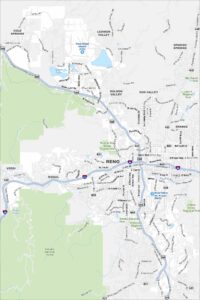
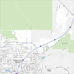
Click on one of our maps of the Silver State.


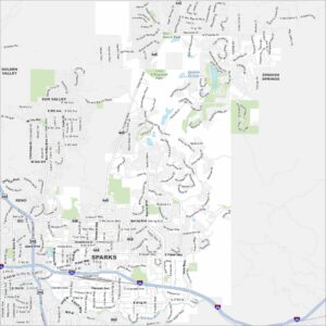
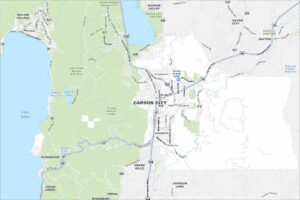
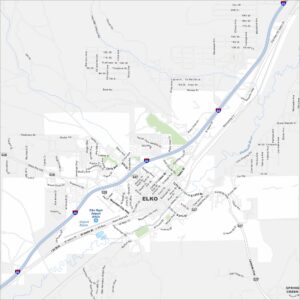
City Maps of Nevada
Explore cities in Nevada from desert to mountains