Map of Hickory, North Carolina
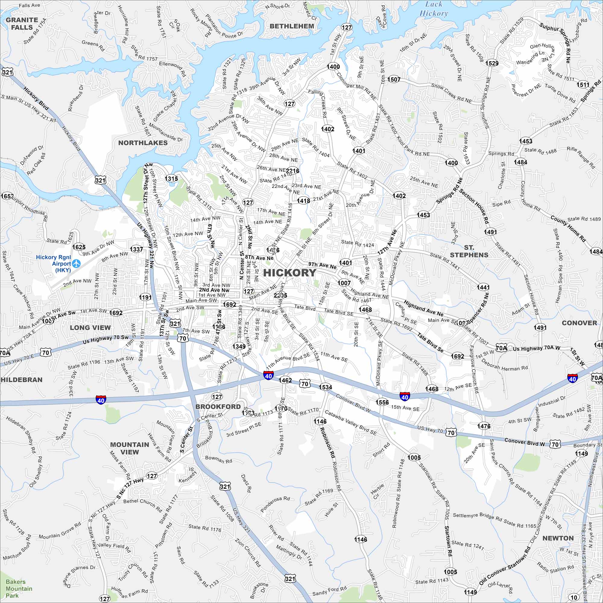
Hickory is in western North Carolina near Lake Hickory. Our map shows winding roads leading into the foothills. Interstate 40 connects it to Charlotte and Asheville.
Map Information
On the Map
Interstates/Highways: I-40, US Hwy 321, US Hwy 70, State Rte 127 Major Roads: Main Ave, Tate Blvd, Springs Rd, Highland Ave, McDonald Pkwy, Startown Rd, 127 Hwy, 16th St, 12th St, 9th Ave, 2nd Ave, 1st Ave, Center St, 4th St, 321 Hwy, Robinson Rd, Sandy Ford Rd, Zion Church Rd, 13th St, 17th St Airports: Hickory Rgnl Airport (HKY) Lakes and Reservoirs: Lake Hickory Nearby Communities: Granite Falls, Bethlehem, St. Stephens, Conover, Newton, Brookford, Mountain View, Long View, HildebranNorth Carolina State Maps
Get to know the mountains and coastlines of North Carolina.


City Maps of North Carolina
Journey through North Carolina with our city maps


