Map of Holland, Michigan
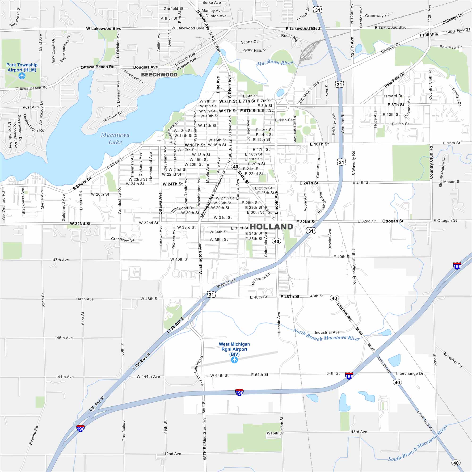
Holland sits on Lake Macatawa, which connects to Lake Michigan. On our map, you’ll see the city center near the water and highways leading inland. It’s famous for its Dutch heritage and annual tulip festival.
Map Information
On the Map
Interstates/Highways: I-196, US Hwy 31, State Rte 40 Major Roads: Michigan Ave, Washington Ave, River Ave, Chicago Dr, 8th St, 16th St, 24th St, 32nd St, 40th St, 48th St, 64th St, Blue Star Hwy, Lincoln Rd, Waverly Rd, Adams St, Lakewood Blvd, Douglas Ave, Ottawa Beach Rd, South Shore Dr, Graafschap Rd Airports: Park Township Airport (HLM), West Michigan Rgnl Airport (BIV) Lakes and Reservoirs: Macatawa Lake Major Rivers: Macatawa River, North Branch Macatawa River, South Branch Macatawa River Nearby Communities: BeechwoodMichigan State Maps
Get to know Michigan with our detailed maps


City Maps of Michigan
Check out our maps of Detroit and other cities in Michigan


