Map of Homestead, Florida
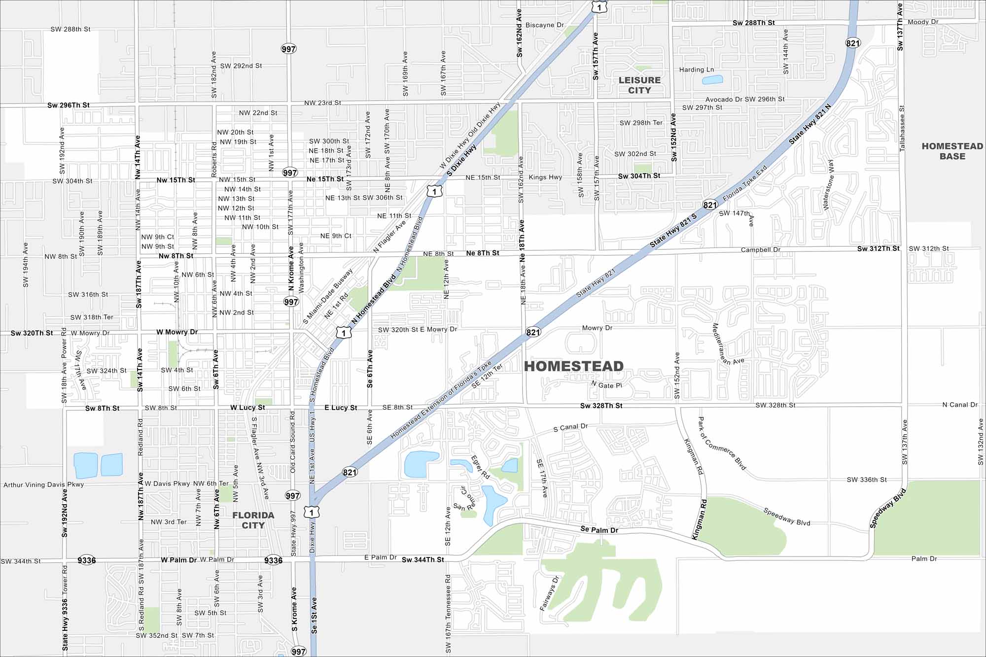
Check out our map of Homestead at the gateway to the Keys. Farmland surrounds much of the city. But Everglades National Park lies just to the west.
Florida State Maps
Discover Florida through our state maps


Map Information
On the Map
Interstates/Highways: US Hwy 1, State Rte 821, State Rte 9336, State Rte 997 Major Roads: Krome Ave, Dixie Hwy, Campbell Dr, Mowry Dr, Palm Dr, Lucy St, Kingman Rd, Speedway Blvd, Tallahassee Rd, SW 177th Ave, SW 137th Ave, NW 15th St, SW 288th St, SW 312th St, SW 328th St, SW 344th St, NE 8th St, NW 8th St, NW 2nd Ave, SW 167th Ave Nearby Communities: Florida City, Leisure City, Homestead BaseFlorida City Maps
Chart your course through Miami and Florida’s cities


