Map of Ionia, Michigan
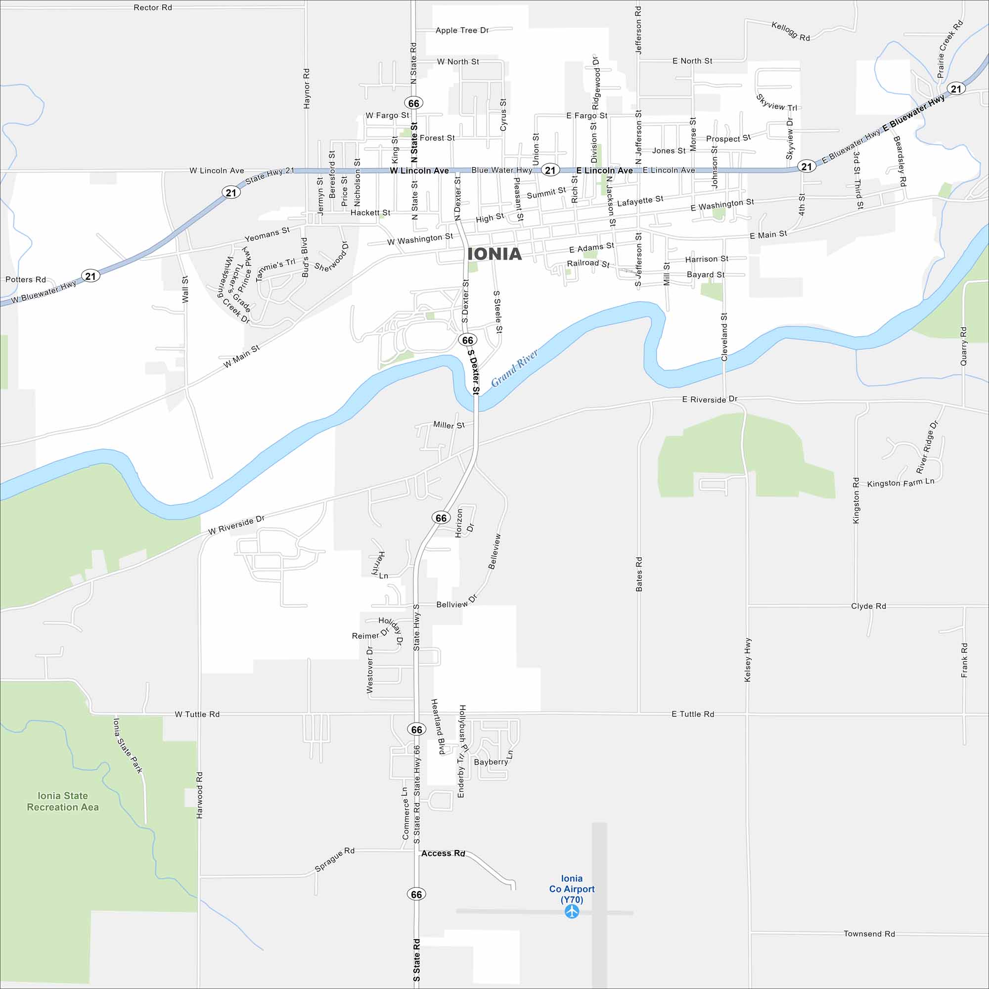
Ionia, Michigan sits along the Grand River on the northern edge. Our map shows its downtown area with highways linking it to larger cities nearby.
Map Information
On the Map
Interstates/Highways: State Rte 66, State Rte 21 Major Roads: Lincoln Ave, Main St, Dexter St, Steele St, Riverside Dr, Tuttle Rd, State Rd, Bluewater Hwy, Washington St, Adams St, Railroad St, Fargo St, North St, Haynor Rd, Yeomans St, Cleveland St, Jefferson St, Union St, Division St, Jackson St Airports: Ionia Co Airport (Y70) Major Rivers: Grand River Parks and Preserves: Ionia State Recreation AreaMichigan State Maps
Get to know Michigan with our detailed maps


City Maps of Michigan
Check out our maps of Detroit and other cities in Michigan


