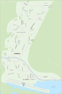
Map of Juneau, Alaska
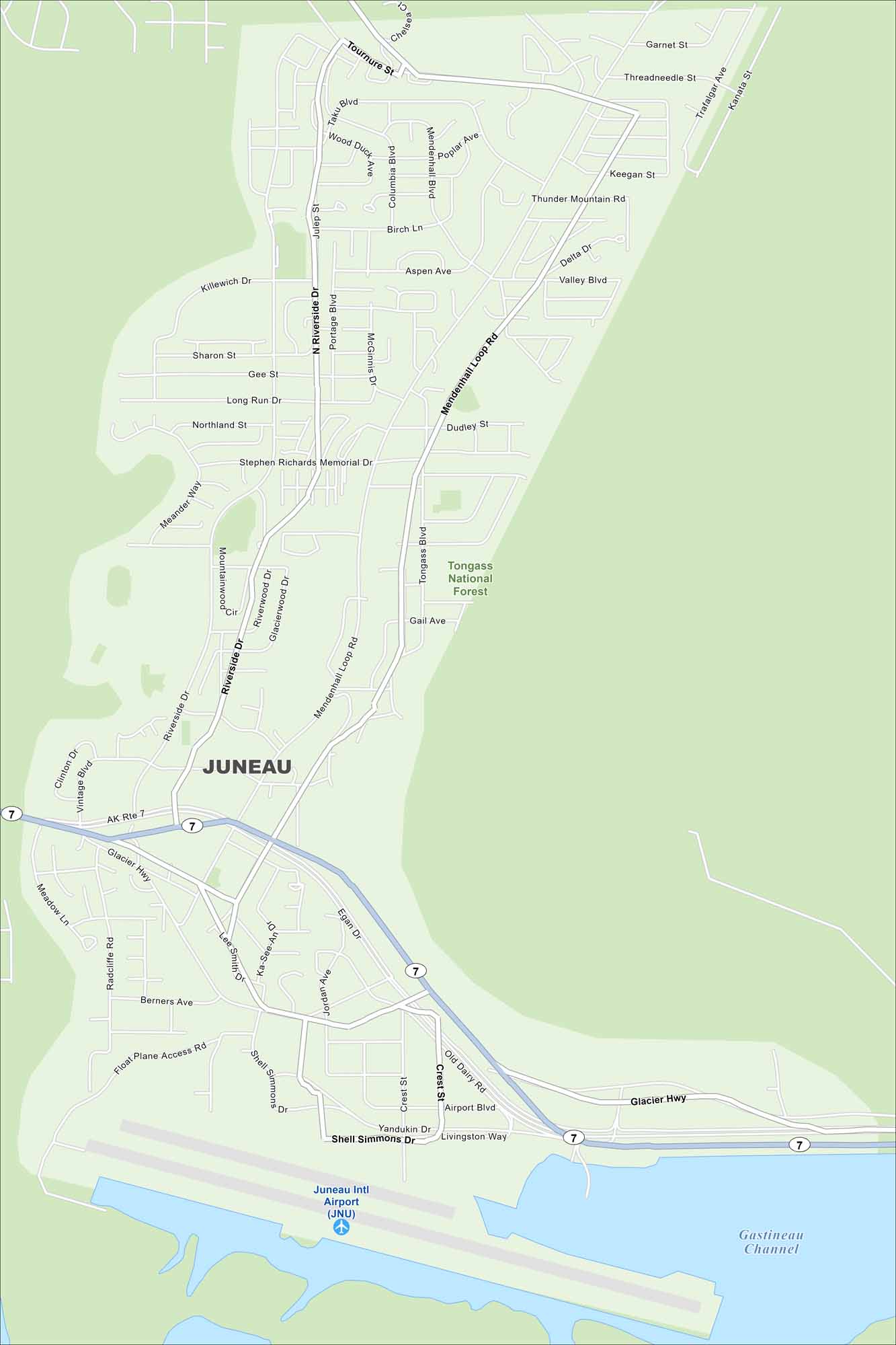
Juneau is wedged between mountains and the Gastineau Channel. Our map shows no roads leading out so travel is by air or sea. You’ll also find Juneau International Airport in the south.
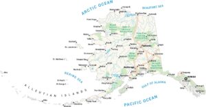
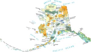
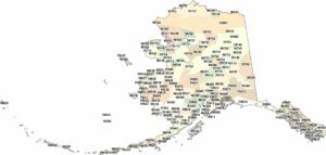
Alaska State Maps
Take a look at our Alaska state maps


Map Information
On the Map
Interstates/Highways: AK Rte 7, Glacier Hwy, Egan Dr Major Roads: Mendenhall Loop Rd, Riverside Dr, Shell Simmons Dr, Airport Blvd, Vintage Blvd, Crest St, Yandukin Dr, Old Dairy Rd, Berners Ave, Stephen Richards Memorial Dr, Long Run Dr, Mendenhall Blvd, Columbia Blvd, N Riverside Dr, Clinton Dr, Meander Way, Mountainwood Cir, Valley Blvd, Thunder Mountain Rd, Poplar Ave Airports: Juneau Intl Airport (JNU) Rivers and Creeks: Gastineau Channel Parks/Preserves/Forests: Tongass National ForestAlaska City Maps
Browse our collection of Alaska city maps