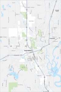
Map of Kalispell, Montana
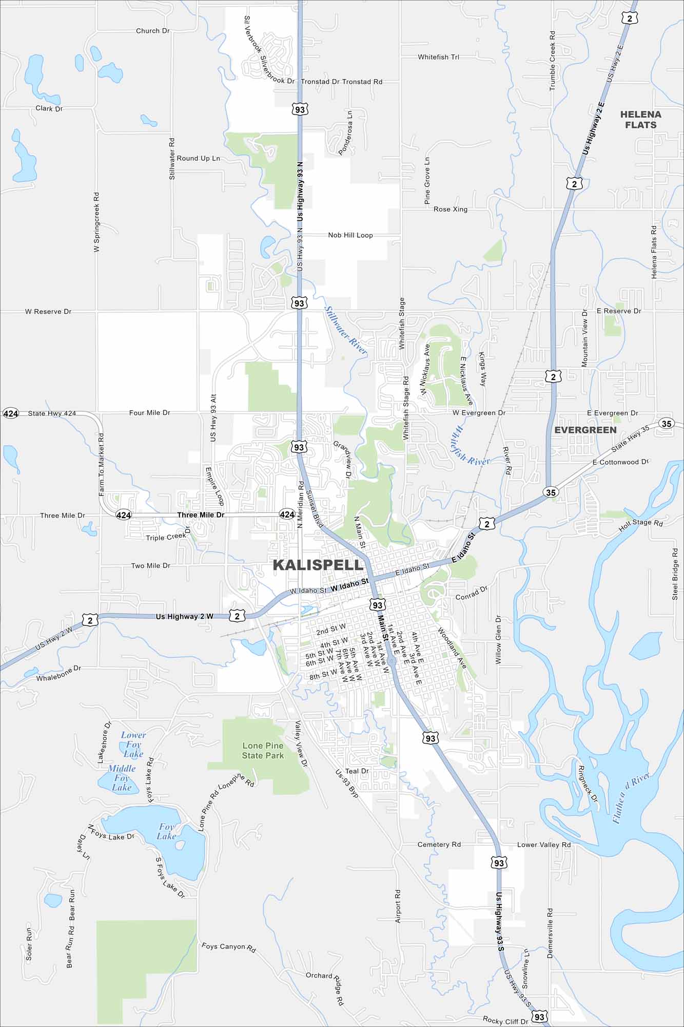
Kalispell is set in the Flathead Valley. This map shows it as a gateway to Glacier National Park. Surrounding mountains rise on nearly every side.
Map Information
On the Map
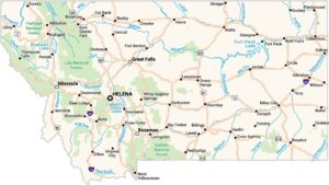
Interstates/Highways: US Hwy 2, US Hwy 93, State Rte 35, State Rte 424 Major Roads: Main St, Idaho St, Meridian Rd, Willow Glen Dr, Reserve Dr, Stillwater Rd, West Valley Dr, Airport Rd, Lower Valley Rd, Conrad Dr, Woodland Ave, Foys Lake Rd, Lone Pine Rd, Farm To Market Rd, Whitefish Stage, Rose Xing, Birch Grove Rd, Helena Flats Rd, Mountain View Dr, Cottonwood Dr Lakes and Reservoirs: Lower Foy Lake, Middle Foy Lake, Foys Lake Major Rivers: Stillwater River, Whitefish River, Flathead River Parks and Preserves: Lone Pine State Park Nearby Communities: Evergreen, Helena FlatsMontana State Maps
Wander through this wide-open state with our map collection.


Montana City Maps
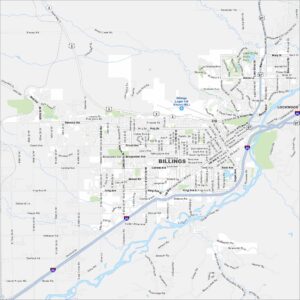
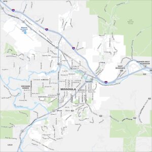
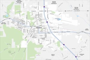
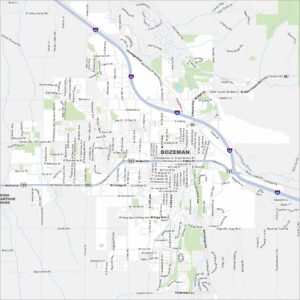
See our map collection of Billings and Montana cities