Map of Key West, Florida
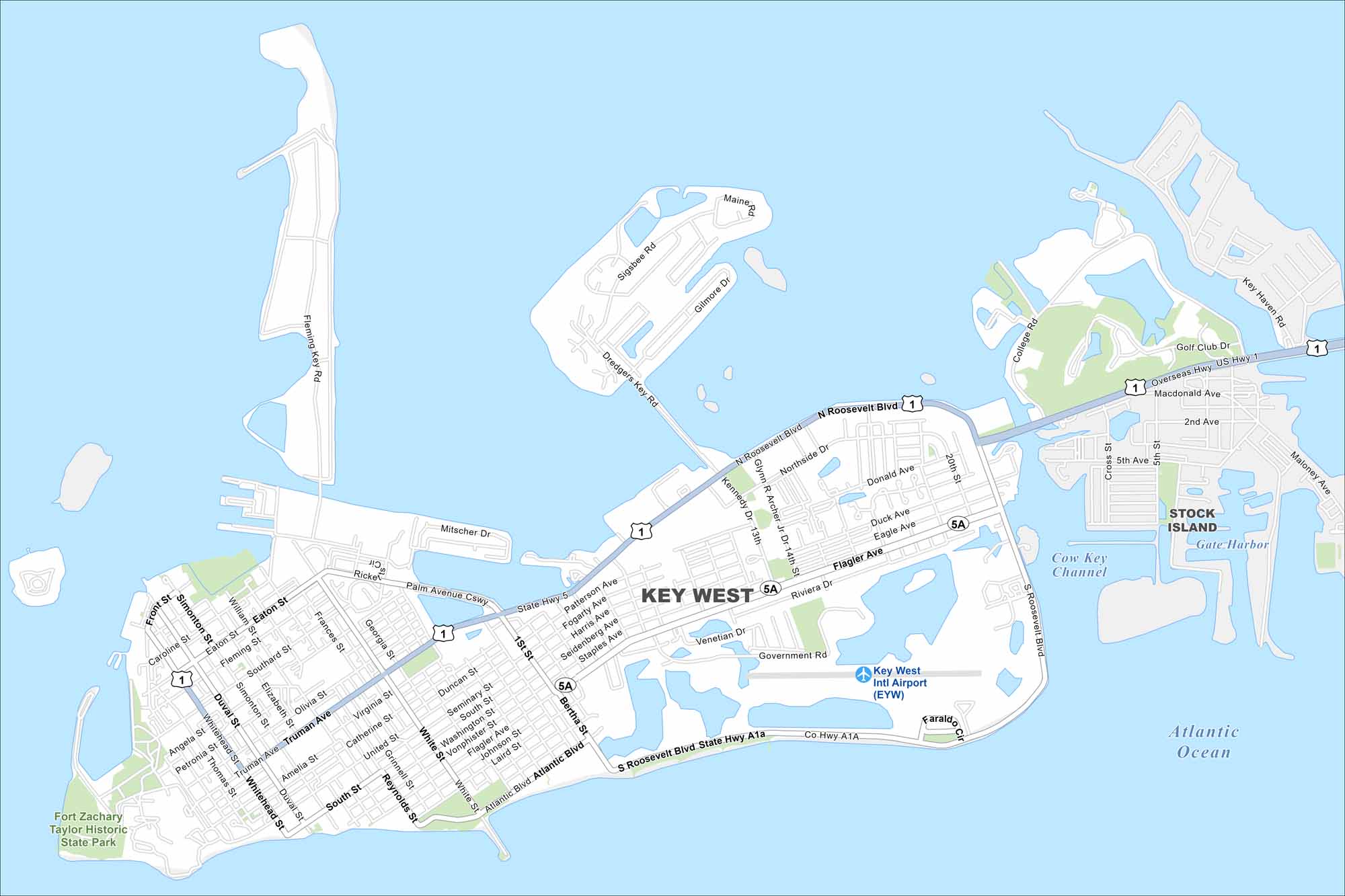
Key West sits at the end of the island chain. Our map highlights the Overseas Highway leading in. The Gulf and Atlantic meet just off its shores.
Florida State Maps
Discover Florida through our state maps


Map Information
On the Map
Interstates/Highways: US Hwy 1 Major Roads: Roosevelt Blvd, N Roosevelt Blvd, S Roosevelt Blvd, Flagler Ave, Atlantic Blvd, Duval St, White St, Truman Ave, Simonton St, Whitehead St, Eaton St, Southard St, Fleming St, Palm Avenue Cswy, Bertha St, Reynolds St, United St, Catherine St, Virginia St, Olivia St Airports: Key West Intl Airport (EYW) Lakes and Reservoirs: Atlantic Ocean, Cow Key Channel Parks and Preserves: Fort Zachary Taylor Historic State Park Nearby Communities: Stock IslandFlorida City Maps
Chart your course through Miami and Florida’s cities


