Map of Kingman, Arizona
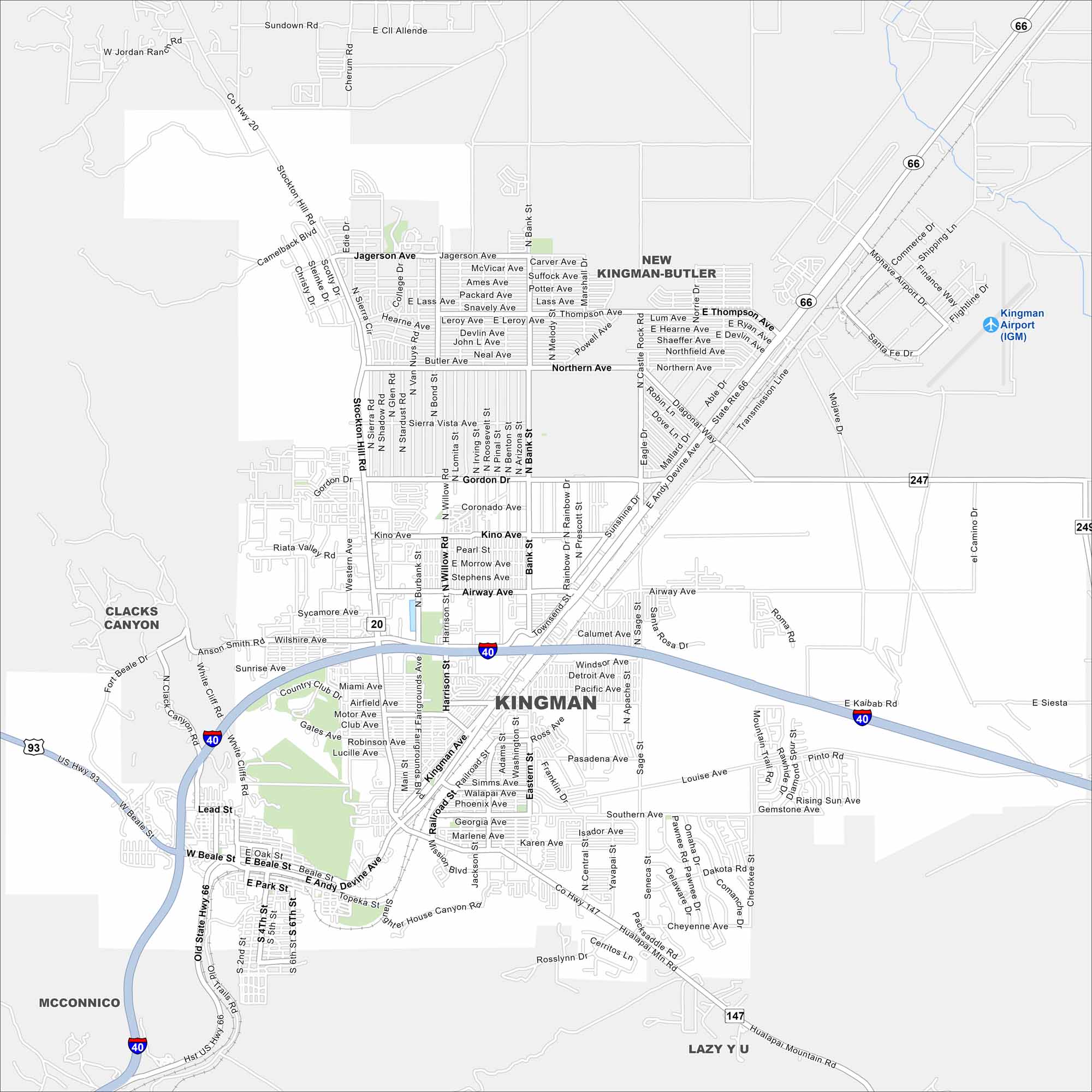
Check out our map of Kingman along historic Route 66. The city sits between desert plains and rugged mountains. Interstate 40 cuts straight through the middle.
Arizona State Maps
Check out our Arizona state maps we’ve put together


Map Information
On the Map
Interstates/Highways: I-40, US-93, SR-66 (Hwy 66), SR-247, SR-147 Major Roads: Stockton Hill Rd, Kingman Ave, Andy Devine Ave, Beale St, Jagerson Ave, Northern Ave, Gordon Dr, Kino Ave, Airway Ave, Sycamore Ave, Sunshine Dr, Hualapai Mountain Rd, Eastern St, Harrison St, Bank St, Powell Ave, Thompson Ave, Burbank St, Western Ave, Beverly Ave Airports: Kingman Airport (IGM) Nearby Communities: New Kingman-Butler, McConnico, Lazy Y U, Clacks CanyonArizona City Maps
Here’s our full batch of Arizona city maps


