Map of Kiryas Joel, New York
Kiryas Joel is a dense community in Orange County. The map shows compact neighborhoods built close together. Highways loop around the village toward New York City.
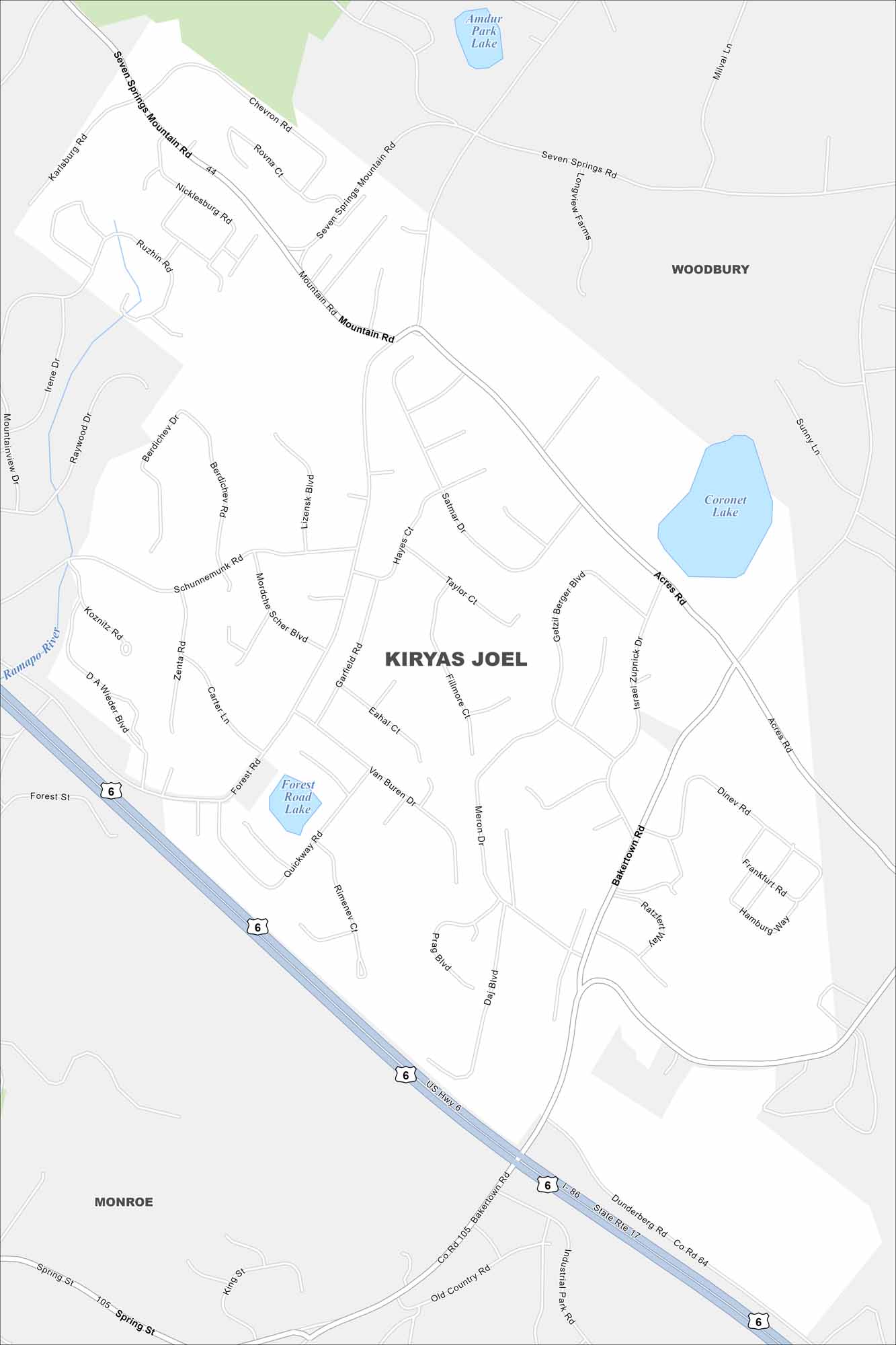
Map Information
On the Map
Interstates/Highways: US Hwy 6, State Rte 17 Major Roads: Seven Springs Mountain Rd, Bakertown Rd, Forest Rd, Quickway Rd, Mountain Rd, Getzil Berger Blvd, Acres Rd, Satmar Dr, Garfield Rd, Van Buren Rd, Meron Dr, Prag Blvd, Daj Blvd, Chevron Rd, Nicklesburg Rd, Berdichev Dr, Lizensk Blvd, Israel Zupnick Dr, Fillmore Ct, Hayes Ct Lakes and Reservoirs: Amdur Park Lake, Coronet Lake, Forest Road Lake Major Rivers: Ramapo River Nearby Communities: Kiryas Joel, Woodbury, MonroeNew York State Maps
Find state maps of the Empire State.


City Maps of New York
Here are the city maps that define New York


