Map of Lindenhurst, New York
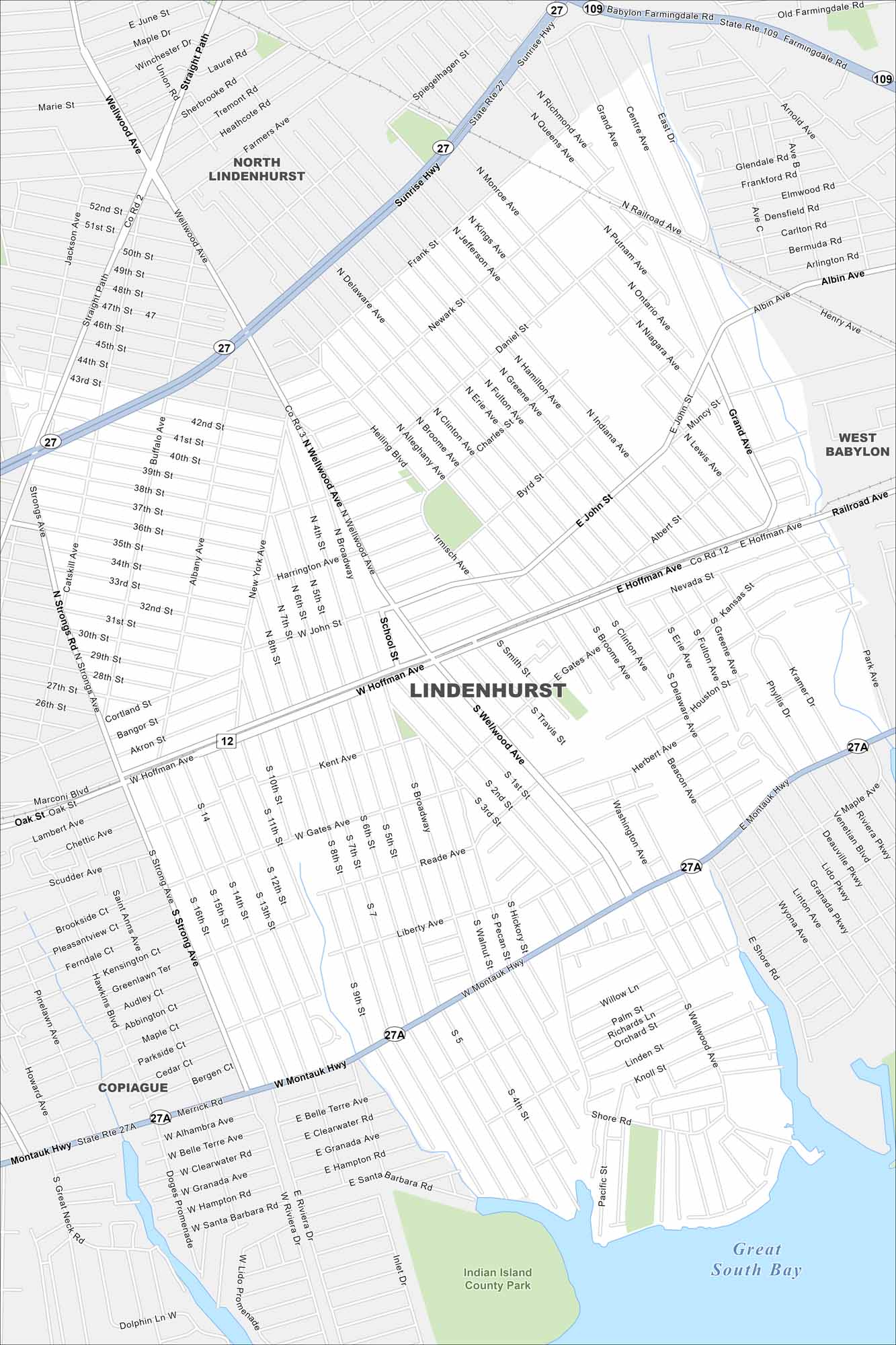
Our map of Lindenhurst places it on Long Island’s South Shore. Canals and waterways run through the village with parks scattered throughout. Sunrise Highway and the Long Island Rail Road connect it to the rest of the region.
Map Information
On the Map
Interstates/Highways: State Rte 27, State Rte 27A, State Rte 109, Sunrise Hwy, Montauk Hwy Major Roads: Wellwood Ave, Hoffman Ave, Straight Path, Delaware Ave, Heling Blvd, Travis St, Smith St, Gates Ave, Broadway, Strongs Ave, Shore Rd, Grand Ave, Copiague Rd, Monroe Ave, Buffalo Ave, Albany Ave, Neguntatogue Creek Rd, Linden St Lakes and Reservoirs: Great South Bay Parks and Preserves: Indian Island County Park Nearby Communities: North Lindenhurst, Lindenhurst, West Babylon, CopiagueNew York State Maps
Find state maps of the Empire State.


City Maps of New York
Here are the city maps that define New York


