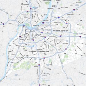
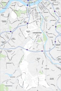
Map of Louisville, Kentucky
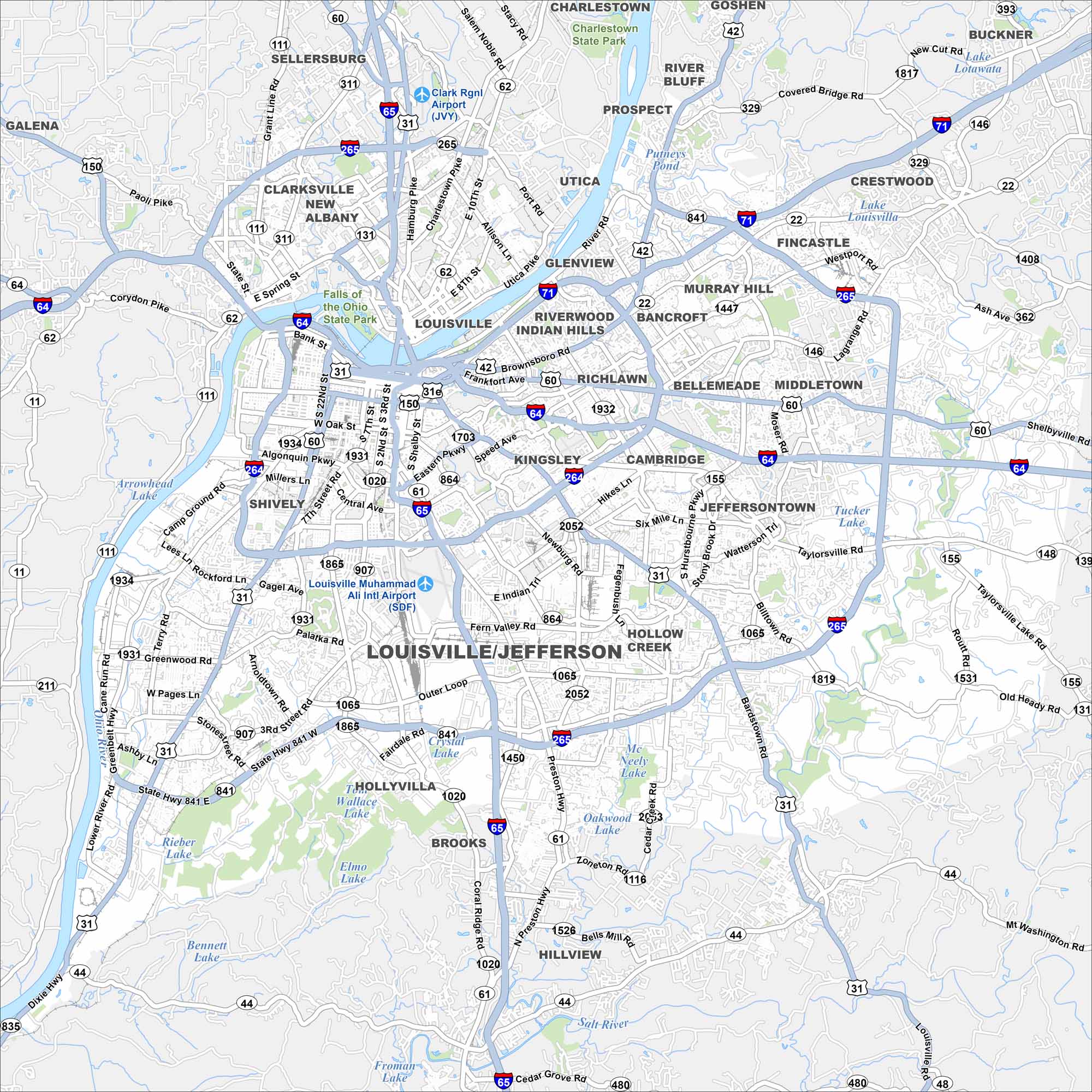
Our map of Louisville shows the Ohio River curving along its northern border. Bridges tie the city to Indiana and beyond. Interstates cross right through its downtown.
Kentucky State Maps
Our Kentucky maps reveal the Bluegrass State


Map Information
On the Map
Interstates/Highways: I-65, I-64, I-71, I-264, I-265, US Hwy 31W, US Hwy 31E, US Hwy 60, US Hwy 150, US Hwy 42, State Rte 841, State Rte 1934, State Rte 1931, State Rte 907, State Rte 155, State Rte 146, State Rte 1819, State Rte 1531, State Rte 111, State Rte 62, State Rte 131, State Rte 44 Major Roads: Gene Snyder Fwy, Watterson Expy, Broadway, Dixie Hwy, Preston Hwy, Bardstown Rd, Shelbyville Rd, Taylorsville Rd, Outer Loop, New Cut Rd, Cane Run Rd, Terry Rd, Greenbelt Hwy, Manslick Rd, Newburg Rd, Hikes Ln, Hurstbourne Pkwy, Brownsboro Rd, Westport Rd, LaGrange Rd Airports: Louisville Muhammad Ali Intl Airport (SDF), Clark Rgnl Airport (JVY) Lakes and Reservoirs: Putneys Pond, Lake Louisville, McNeely Lake, Crystal Lake, Wallace Lake, Elmo Lake, Rieber Lake, Bennett Lake, Froman Lake Major Rivers: Ohio River, Salt River Parks and Preserves: Falls of the Ohio State Park, Charlestown State Park Nearby Communities: Sellersburg, Clarksville, New Albany, Galena, Prospect, River Bluff, Utica, Glenview, Indian Hills, Riverwood, Rolling Fields, Richlawn, Bellemeade, Murray Hill, Bancroft, Fincastle, Crestwood, Buckner, Middletown, Jeffersontown, Hollow Creek, Hillview, Brooks, Holly Villa, Shively, Mt Washington Neighborhoods: Downtown LouisvilleCity Maps of Kentucky
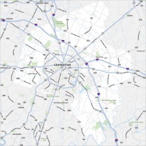
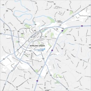
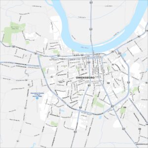
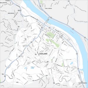
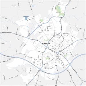
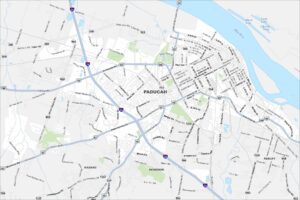
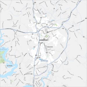
Here are Kentucky’s cities in full detail