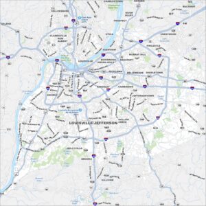
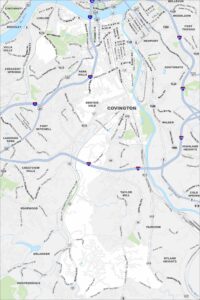
Downtown Louisville Map
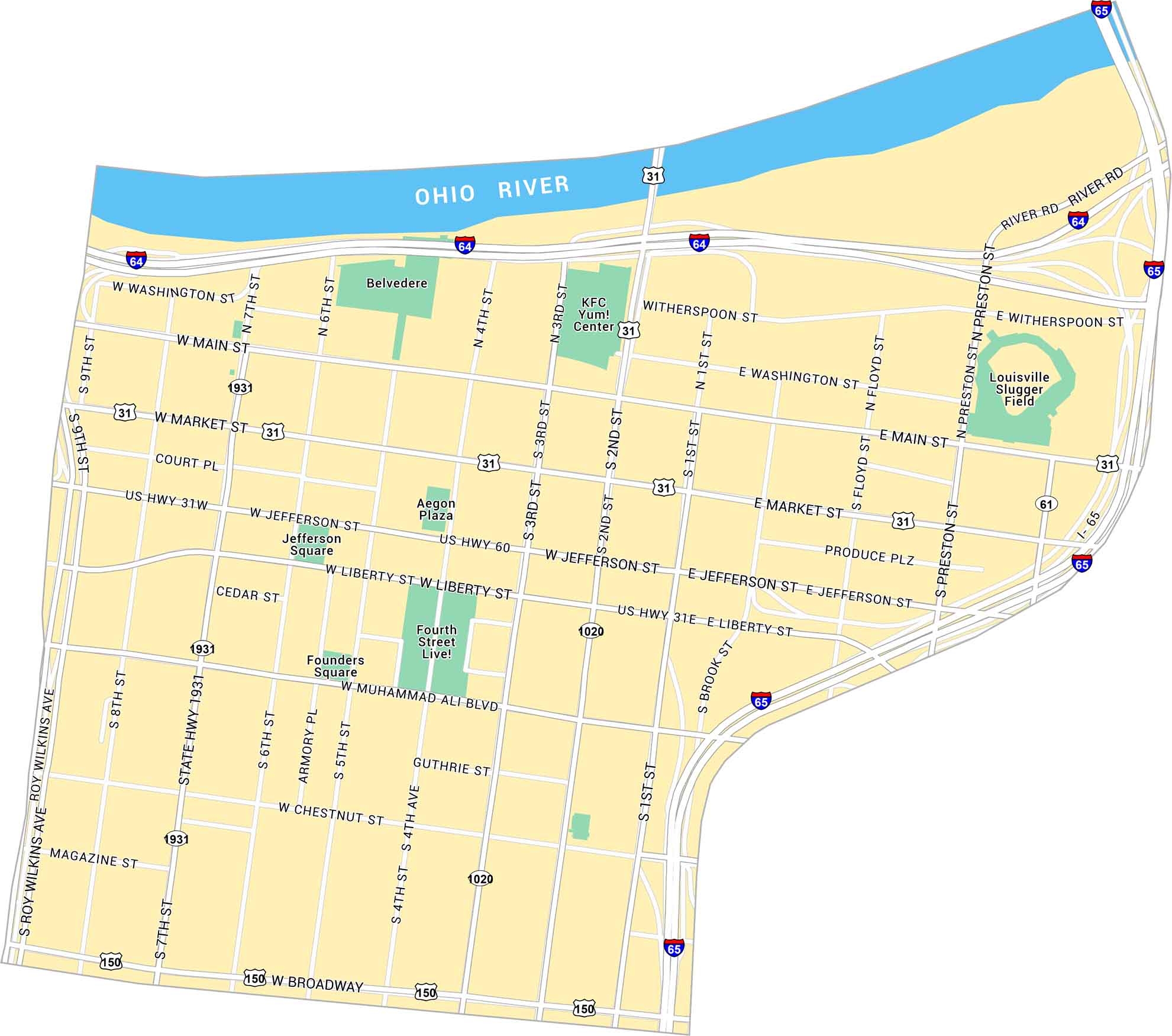
Our map of Downtown Louisville shows the area along the Ohio River, centered on Main and Market Streets. It includes parks, bridges, and the streets connecting the waterfront to the city core.
Map Information
On the Map
Interstates/Highways: I-64, I-65, US Hwy 31, US Hwy 31W, US Hwy 31E, US Hwy 60, US Hwy 150, State Hwy 1931, State Hwy 1020, State Hwy 61 Major Roads: Broadway, Main St, Market St, Jefferson St, Liberty St, Muhammad Ali Blvd, Chestnut St, 2nd St, 3rd St, 4th St, 5th St, 6th St, 7th St, 8th St, 9th St, Washington St, Roy Wilkins Ave, Preston St, Floyd St, Brook St Rivers: Ohio River Parks: Belvedere, Founders Square, Jefferson Square Landmarks: Louisville Slugger Field, KFC Yum! Center, Fourth Street Live!, Aegon PlazaCity Maps of Kentucky
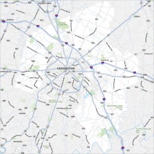
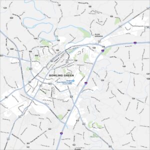
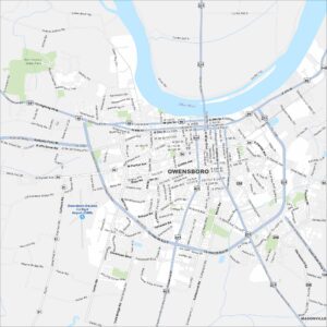
Here are Kentucky’s cities in full detail