Map of Lynbrook, New York
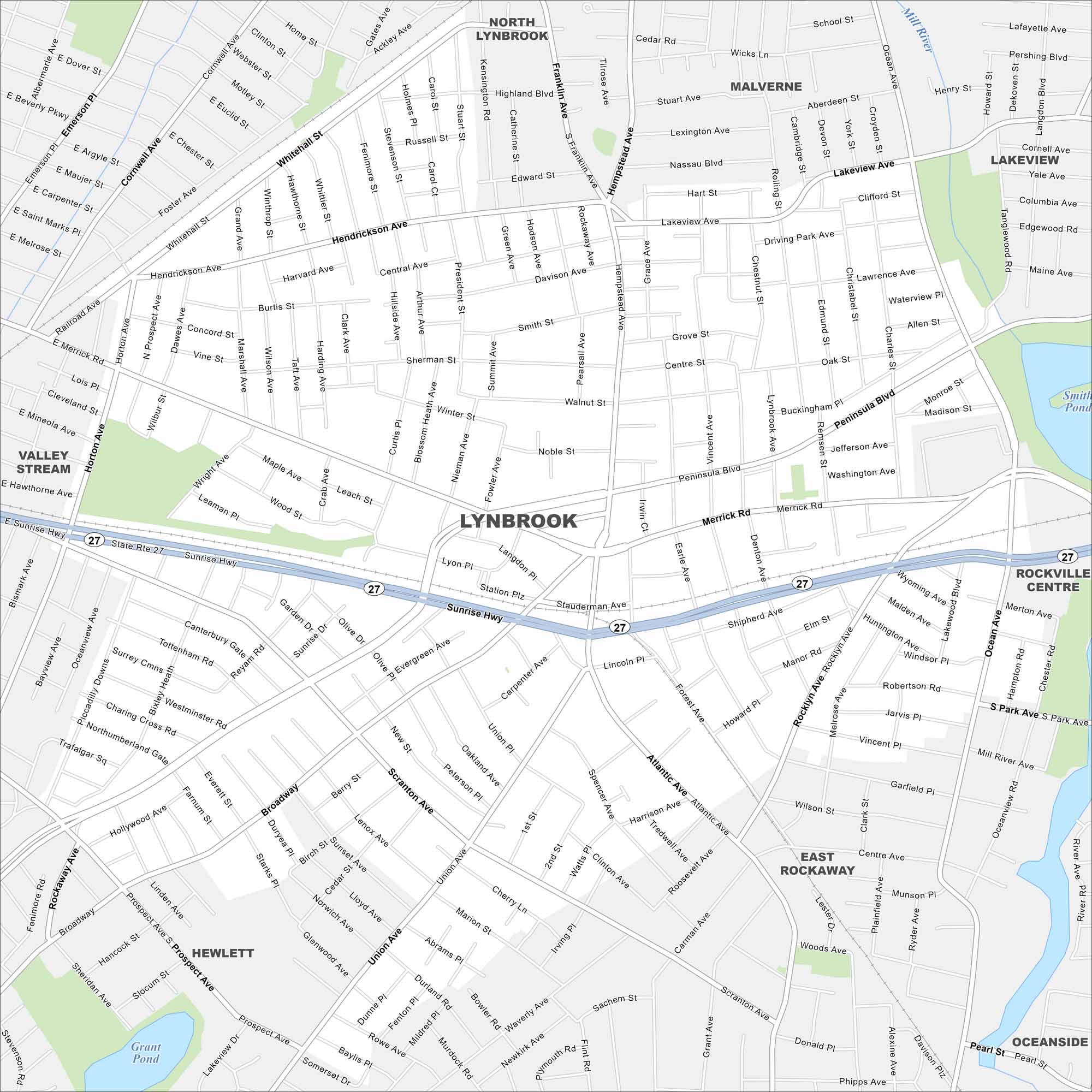
Lynbrook lies on Long Island just east of Queens. Our map shows the commuter roads, waterways, parks and rail lines. The Sunrise Highway ties it into greater New York City.
Map Information
On the Map
Interstates/Highways: State Rte 27, Sunrise Hwy Major Roads: Merrick Rd, Peninsula Blvd, Broadway, Union Ave, Atlantic Ave, Scranton Ave, Rockaway Ave, Ocean Ave, Hempstead Ave, Franklin Ave, Lakeview Ave, Whitehall St, Central Ave, Wright Ave, Broadway, Horton Ave, Denton Ave, Earle Ave, Vincent Ave Lakes and Reservoirs: Smith Pond, Grant Pond Major Rivers: Mill River Nearby Communities: Lynbrook, North Lynbrook, Malverne, Lakeview, Rockville Centre, Oceanside, East Rockaway, Hewlett, Valley StreamNew York State Maps
Find state maps of the Empire State.


City Maps of New York
Here are the city maps that define New York


