Map of Woodhaven, Michigan
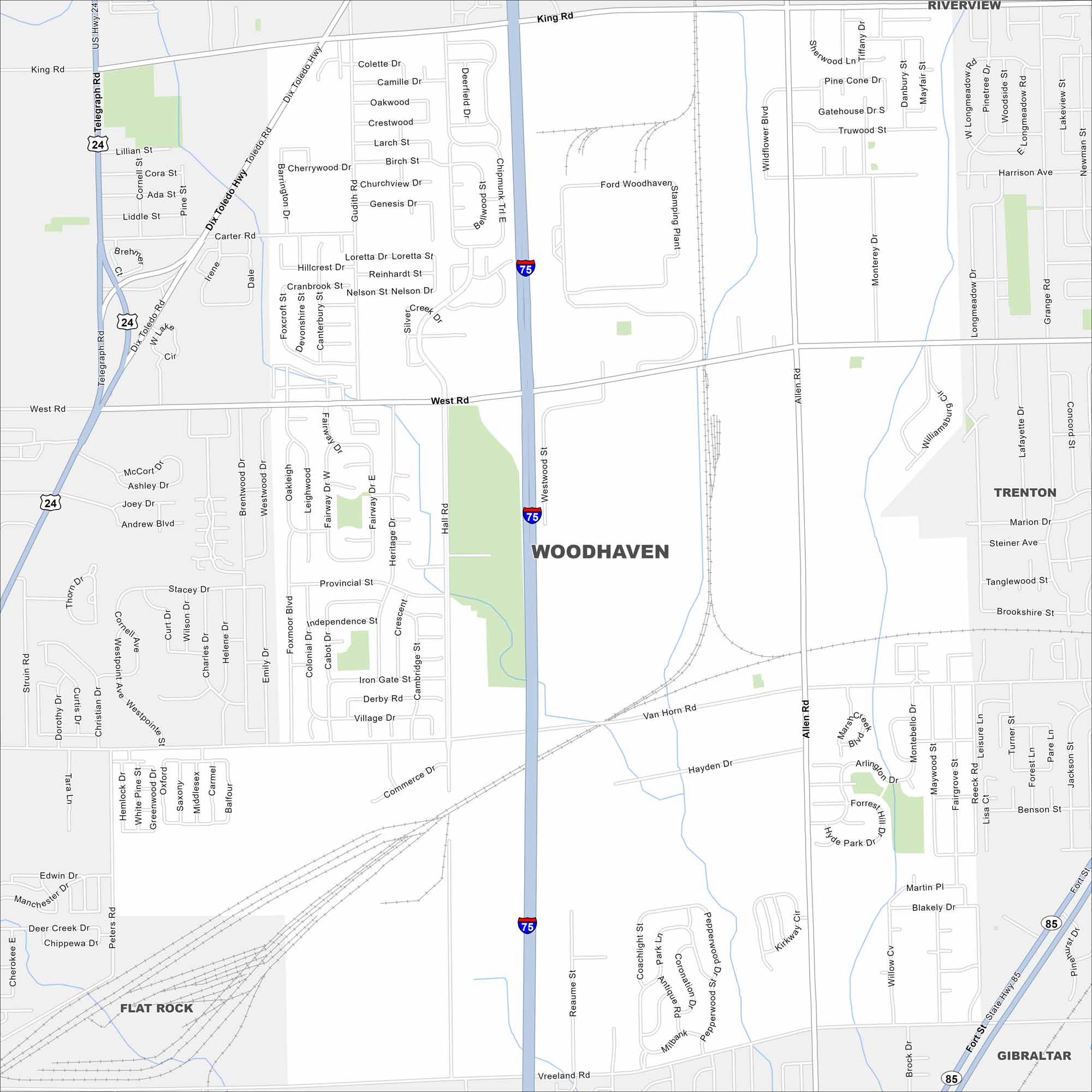
Here’s our map of Woodhaven, located in Metro Detroit’s Downriver region. The city has residential streets with easy highway access from I-75.
Map Information
On the Map
Interstates/Highways: I-75, US Hwy 24, State Hwy 85 Major Roads: West Rd, Allen Rd, Dix Toledo Hwy, King Rd, Van Horn Rd, Vreeland Rd, Hall Rd, Gudith Rd, Carter Rd, Commerce Dr Nearby Communities: Riverview, Woodhaven, Trenton, Flat Rock, GibraltarMichigan State Maps
Get to know Michigan with our detailed maps


City Maps of Michigan
Check out our maps of Detroit and other cities in Michigan


