Map of Morrisville, North Carolina
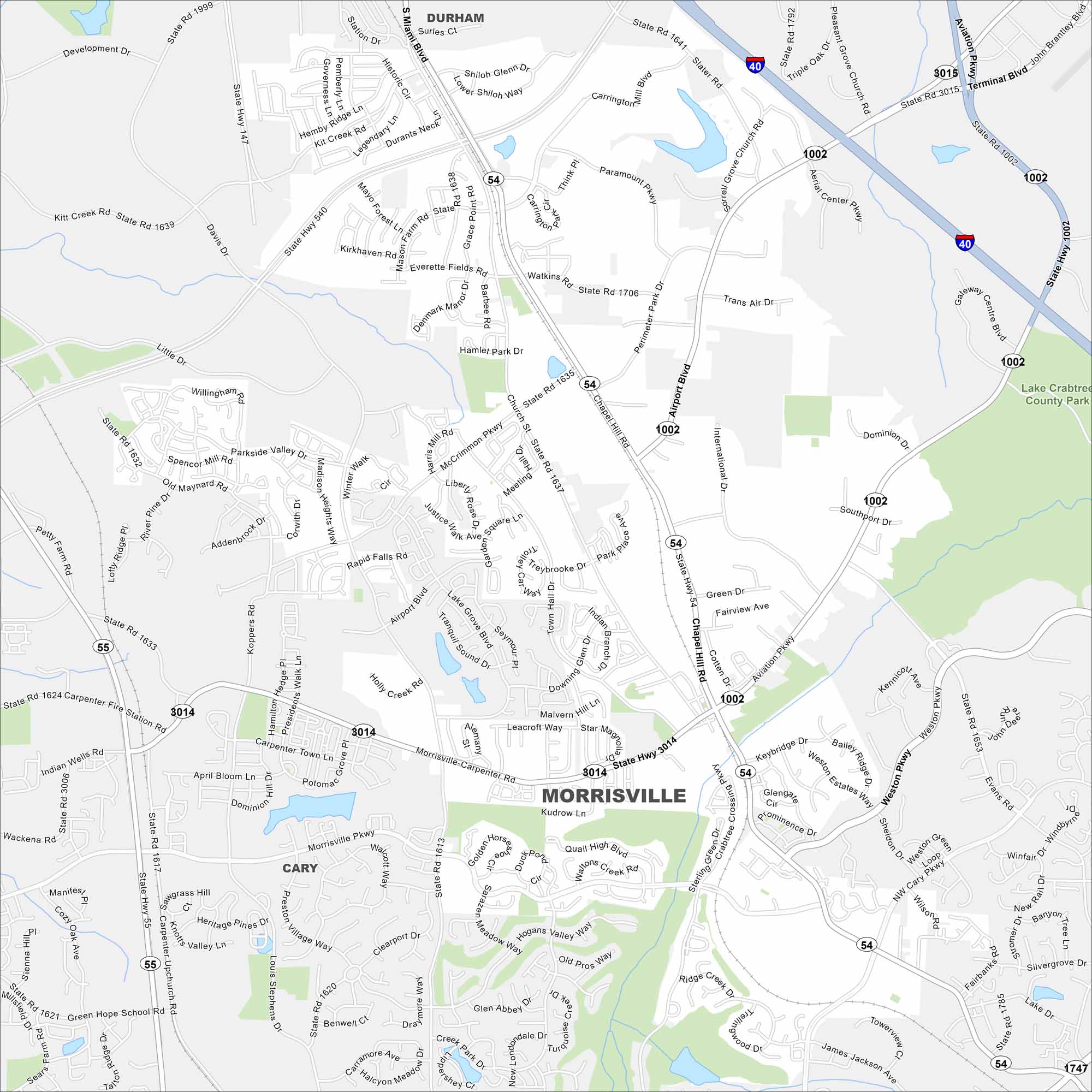
Morrisville sits right in the Research Triangle. Our map highlights its parks, waterways, streets and highways. With a close connection to Raleigh-Durham Airport, it’s grown quickly in recent years.
Map Information
On the Map
Interstates/Highways: I-40, State Rte 54, State Rte 55, State Rte 540 Major Roads: Airport Blvd, Chapel Hill Rd, Morrisville Carpenter Rd, Davis Dr, Aviation Pkwy, Cary Pkwy, NW Cary Pkwy, McCrimmon Pkwy, Church St, Town Hall Dr, Evans Rd, Slater Rd, Page Rd, Miami Blvd, Perimeter Park Dr, International Dr, Carrington Mill Blvd, Hopson Rd, Parkside Valley Dr, Louis Stephens Dr Parks and Preserves: Lake Crabtree County Park Nearby Communities: Cary, Durham, RaleighNorth Carolina State Maps
Get to know the mountains and coastlines of North Carolina.


City Maps of North Carolina
Journey through North Carolina with our city maps


