Map of Nogales, Arizona
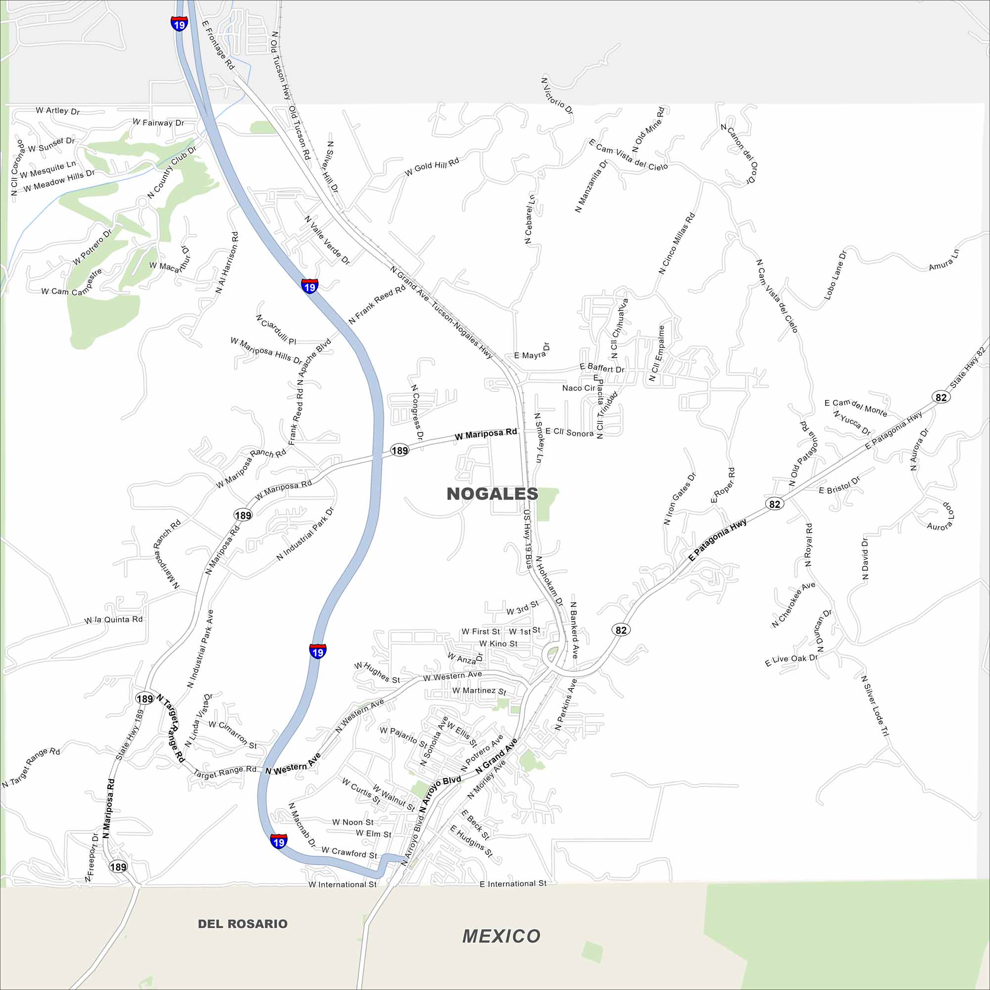
Nogales rests on the U.S.-Mexico border. Take a look at the map to see its road network, border crossing, and compact downtown. The twin city of Nogales, Sonora lies just across the line.
Arizona State Maps
Check out our Arizona state maps we’ve put together


Map Information
On the Map
Interstates/Highways: I-19, State Hwy 189, State Hwy 82, US Hwy 19 Bus Major Roads: Mariposa Rd, Grand Ave, Frank Reed Rd, Mastick Way, Western Ave, Industrial Park Ave, Target Range Rd, Crawford St, International St, Morley Ave, Arroyo Blvd, Potrero Ave, Bankerd Ave, Perkins Ave, David Dr, Royal Rd, Gold Hill Rd, Valle Verde Dr, Mariposa Hills Dr, Apache Blvd Nearby Communities: Del Rosario (Mexico)Arizona City Maps
Here’s our full batch of Arizona city maps


