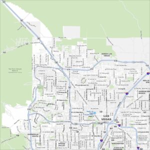
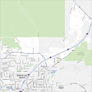
Map of North Las Vegas, Nevada
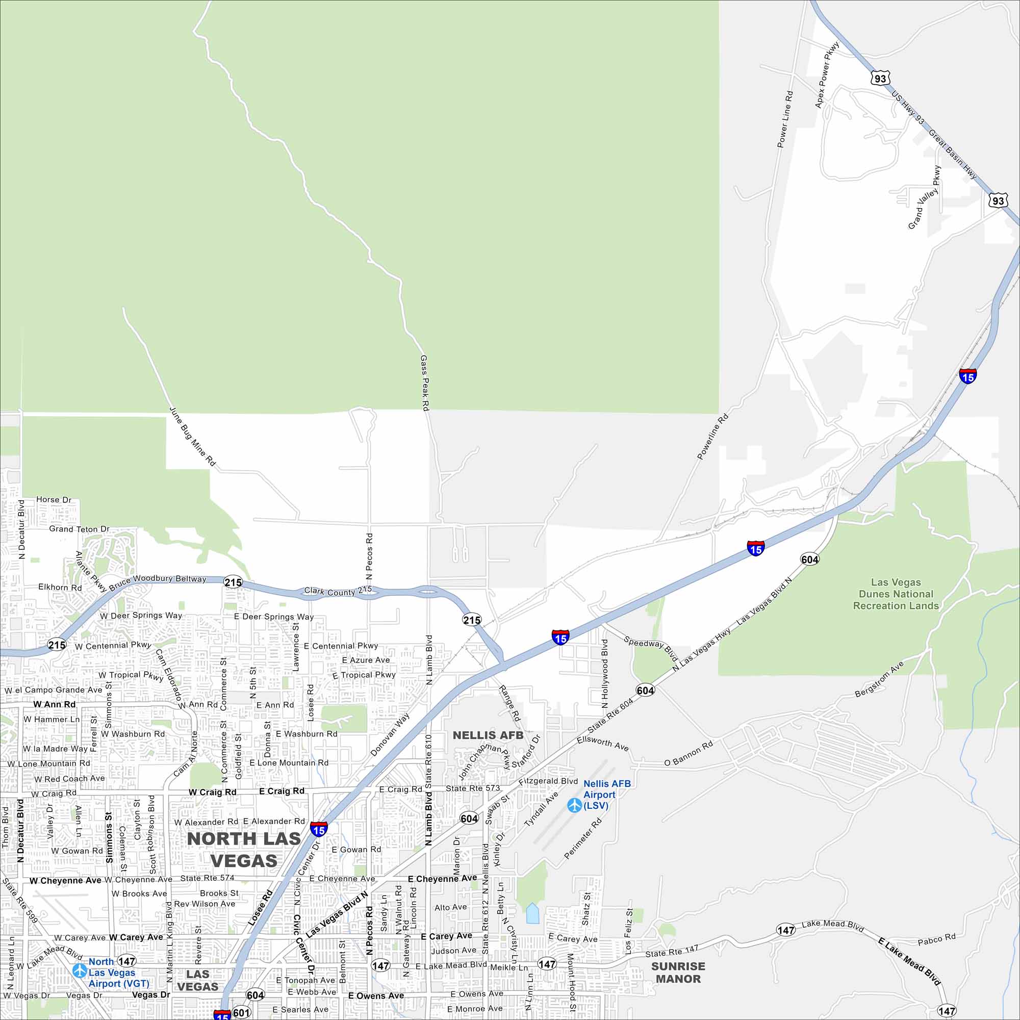
North Las Vegas spreads across the desert north of the Strip. This map shows residential neighborhoods, highways, and nearby airports. Growth has made it one of Nevada’s largest cities.
Map Information
On the Map
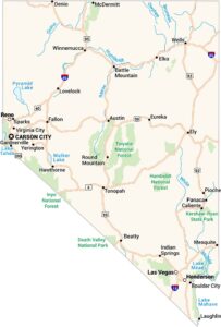
Interstates/Highways: I-15, I-215, I-601, US Hwy 93, State Rte 147, State Rte 573, State Rte 574, State Rte 604, State Rte 612 Major Roads: Las Vegas Blvd, Nellis Blvd, Lamb Blvd, Pecos Rd, Losee Rd, Civic Center Dr, Cheyenne Ave, Craig Rd, Alexander Rd, Gowan Rd, Lake Mead Blvd, Carey Ave, Owens Ave, Washington Ave, Centennial Pkwy, Ann Rd, Tropical Pkwy, Washburn Rd, Lone Mountain Rd, Belmont St Airports: Nellis AFB Airport (LSV), North Las Vegas Airport (VGT) Parks and Preserves: Las Vegas Dunes National Recreation Lands Nearby Communities: Las Vegas, Sunrise ManorNevada State Maps
Click on one of our maps of the Silver State.


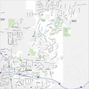
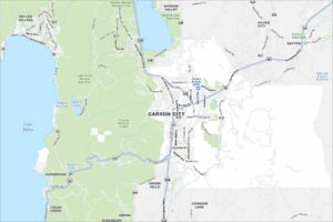
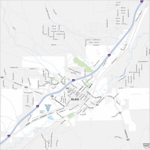
City Maps of Nevada
Explore cities in Nevada from desert to mountains