Map of North Lauderdale, Florida
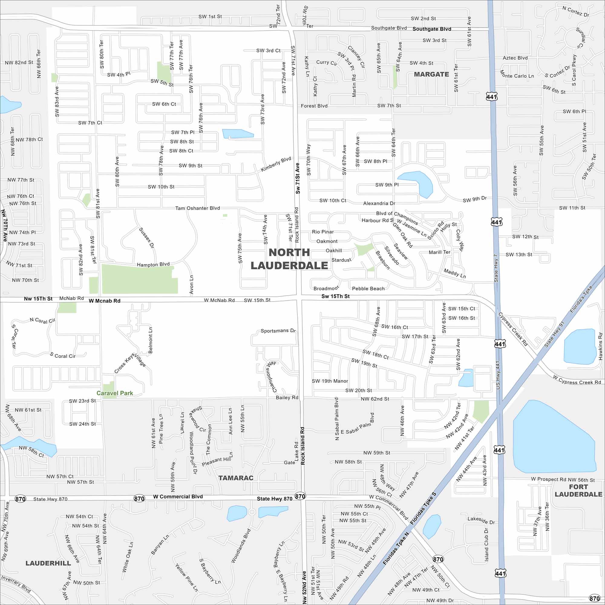
Take a look at North Lauderdale in Broward County. Our map shows its residential streets with canals running through. It’s a small but dense part of the Miami metro area.
Florida State Maps
Discover Florida through our state maps


Map Information
On the Map
Interstates/Highways: Florida’s Tpke, US Hwy 441, State Hwy 7, State Hwy 870 Major Roads: Commercial Blvd, McNab Rd, 15th St, Rock Island Rd, Southgate Blvd, Bailey Rd, Kimberly Blvd, Tam O’shanter Blvd, Hampton Blvd, Broadmoor Blvd, 71st St, 81st Ave, 64th Ave, 62nd Ave, Prospect Rd, 82nd St, 70th Ave, 31st Ave, 61st Ave, 56th St Nearby Communities: Margate, Tamarac, Fort Lauderdale, Lauderdale Lakes, LauderhillFlorida City Maps
Chart your course through Miami and Florida’s cities


